A new low pressure from the west gives a lot of rain along the coast and a lot of snow in the height from Sunday night. Expect traffic trouble on Monday.
–
On Sunday, a new low pressure will blow over southern Norway from the west, and thus there may be refills of snow in many places. In both Sørlandet and Østlandet, it will be possible to ski in the lowlands as well. Our forecasts suggest 15 to 30 centimeters of snow in 24 hours.
This is reported by the Meteorological Institute on Twitter on Friday.
But we who live along the coast in Rogaland, can look far for the snow.
Lots of snow in higher areas
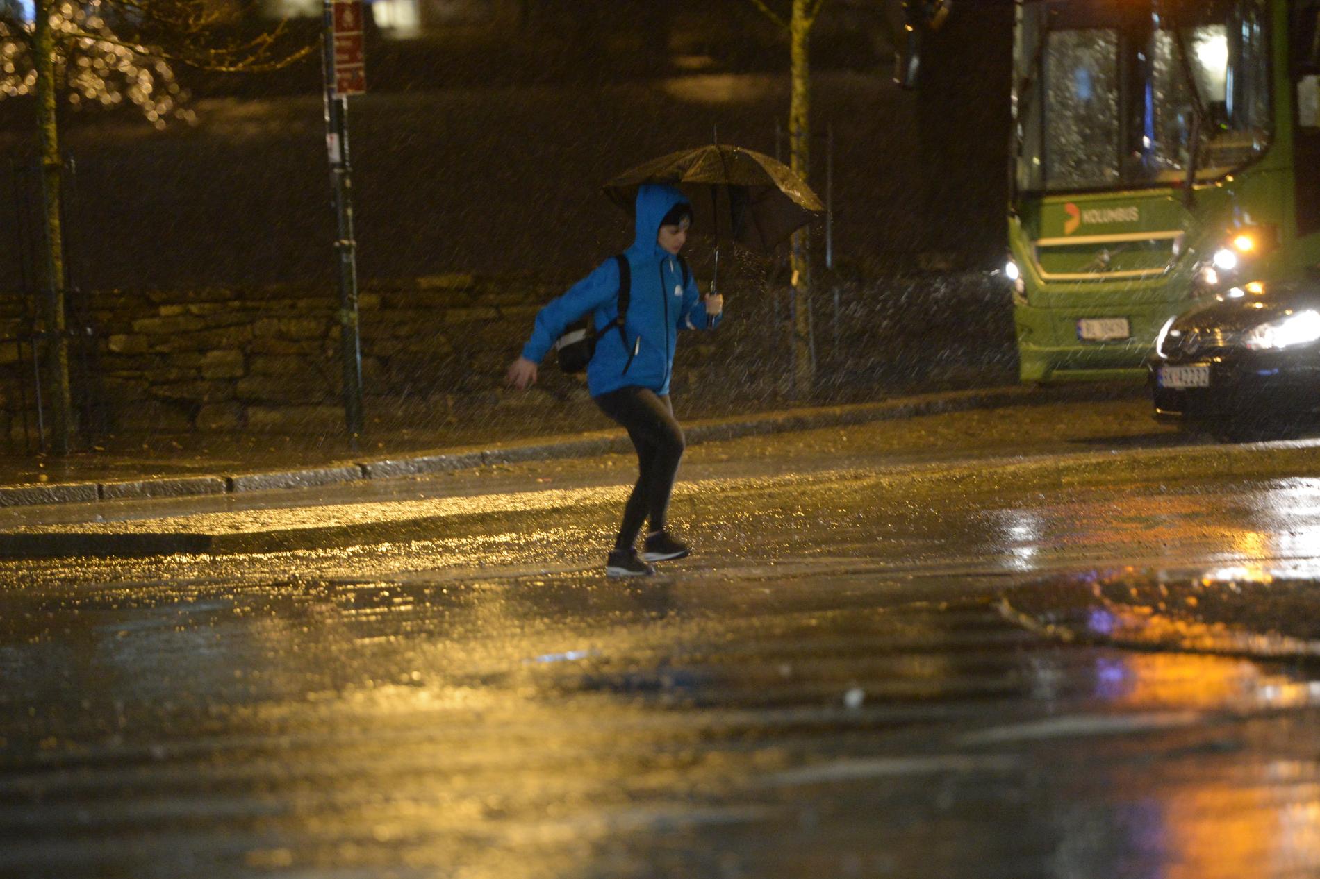
– Possibly there will be some sleet on Sunday night, also along the coast. But only a few miles in from the coast and with an altitude of over 200 meters above sea level, there will be snow, between 15 and 20 centimeters in higher areas, says on-duty meteorologist Charalampos Sarchosidis at the Meteorological Institute to Aftenbladet on Friday.
The rainy season starts according to Sarchosidis on Sunday afternoon, but the largest amounts of precipitation come late Sunday evening and night until Monday. But already on Sunday morning, the wind comes up in a strong gale, which will lead to snowstorms in higher areas already from the afternoon.
According to the meteorologist, both precipitation and wind calmed down on Monday morning. But he believes the night’s precipitation could lead to traffic problems Monday morning and this morning in the areas that have received snow.
 –
–Quieter on Saturday
But Saturday will not be as harsh.
– That day starts very well. Some may have had frost at night in the lowlands, but the temperature will rise to 3-4 degrees during the day. The strongest wind this day will be a light gale from the north and northwest. In the afternoon there may be some rain showers, and there may also be some thunder in connection with these, says Sarchosidis.

