China Releases Ecological Reports on Disputed South China Sea Features
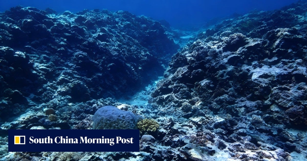
China published ecological assessment reports on nine disputed South China Sea features, amid an escalating row with Washington and heightened maritime confrontations with Manila.
The release of the environmental data follows a series of tense maritime encounters in the strategic waterway. On Tuesday, Chinese state-run media released video footage of a clash near the disputed Ren’ai Jiao, internationally recognized as Second Thomas Shoal. According to the China Coast Guard, Philippine vessels collided with a patrol boat during an operation on Monday, setting off a fresh round of conflicting accusations between Beijing and Manila.
Ecological Reports and Strategic Maritime Claims
The assessment reports cover nine separate features claimed by Beijing across the South China Sea. Claiming upwards of 90 percent of the strategic waterway, Beijing continues to assert its sovereign rights despite a 2016 international arbitral court ruling that dismissed its claims.
The timing of the ecological release coincides with deep geopolitical friction involving the United States and regional allies.
Clashing Accounts Over Second Thomas Shoal Confrontations
Monday’s maritime incident near Second Thomas Shoal drew competing narratives from both governments. According to footage published by the state-run China Daily, two rigid inflatable boats launched from a grounded Philippine vessel approached a China Coast Guard ship. Chinese officials stated that the Philippine watercraft disregarded repeated cautions, approached swiftly, and sought to encircle and strike the security vessel.
The China Coast Guard alleged that its officers were struck with paddles and long poles during the confrontation. In an official statement, the agency maintained that personnel responded with verbal warnings, navigational maneuvers, and corresponding countermeasures while exercising maximum restraint under Chinese law. Conversely, Philippine authorities accused China Coast Guard personnel of injuring a Filipino sailor during the clash—an allegation that Beijing has explicitly denied.
Digital Cartography and Territorial Nomenclature Disputes
Tensions have extended beyond physical waters into digital spaces. Beijing recently pushed back against Google Maps for labeling the western stretch of the South China Sea as the “West Philippine Sea.” During a regular news conference in Beijing, Foreign Ministry spokesperson Lin Jian stated that “South China Sea” remains the standard geographic designation recognized by the international community and organizations like the United Nations.
The Philippines, a United States defense treaty ally, utilizes the term “West Philippine Sea” to refer to the portion of the maritime zone within its exclusive economic zone. Speaking to the Global Times, Ding Duo—who serves as director of the Research Center for International and Regional Studies at China’s National Institute for South China Sea Studies—noted that Manila’s efforts to draw attention to the label fail to alter Beijing’s assertion of unquestionable sovereignty.

Meanwhile, Philippine House Speaker Martin Romualdez welcomed the digital map update, stating that the consistent labeling reflects growing global acknowledgment of Manila’s sovereign rights within its exclusive economic zone. With diplomatic channels strained and military exercises scheduled between U.S. and Philippine forces involving thousands of troops, corporate entities managing cross-border assets must maintain rigorous legal compliance.
As Beijing deepens its administrative footprint through environmental reporting and Manila solidifies security partnerships with Western allies, the South China Sea remains one of the world’s most critical and volatile geopolitical flashpoints.