Warm Weather Precedes Cooler Weekend With Showers and Sun
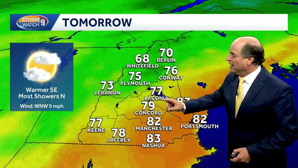
New Hampshire will experience a warm weather pattern persisting through Friday, bringing highs in the low 80s to southern and eastern parts of the state before a cold front arrives ahead of the weekend with dropping temperatures and potential showers, according to wmur.com.
Unseasonable Warmth Persists Through Friday
The current unseasonable warmth building across the region will hold steady through the end of the work week. Lows tonight will remain mild, hovering in the low 60s for most areas under cloudy skies. By Friday afternoon, communities in southern New Hampshire, particularly south and east, could see temperatures climb into the low 80s.
Northern Rain Precedes Friday Evening Sprinkles
While southern portions of the state remain largely dry on Friday, an approaching front will introduce changing conditions. Northern areas face a round of rain and showers through the morning and early afternoon hours. As that moisture moves east, it is expected to break apart, leaving areas south of Concord with little more than a quick shower or sprinkle late Friday evening before skies clear out for the start of the weekend.
Sharp Weekend Cool-Down Replaces Summer-Like Heat
Cooler air replaces the warmth just in time for the weekend, bringing daytime highs down into the 60s. Saturday will feature plenty of sunshine across New Hampshire. That clear stretch will be short-lived, however, as another weather system approaches later in the day on Sunday, bringing partial sun and increasing the potential for further atmospheric shifts.
Breezy Conditions and 50-Degree Highs by Tuesday
By early next week, the pattern turns noticeably colder and breezy. Highs are projected to drop into the 50s by Tuesday, marking a sharp transition from the summer-like readings experienced at the end of the work week.