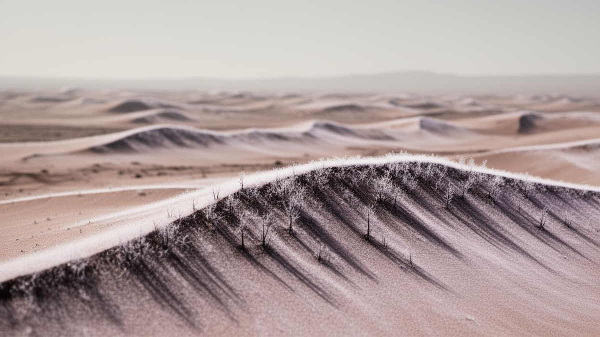
Martian ‘Trees’ Revealed as Dark Sand Slides From Seasonal CO2 Sublimation
A photograph captured by the HiRISE camera on NASA’s Mars Reconnaissance Orbiter in April 2008 shows what appears to be a forest of dark, upright trees on Martian dunes, though the features are actually sand slides.
While the imagery has circulated widely, including renewed attention on Friday the phenomenon is entirely geological, according to reports from Nacionale and ScienceAlert.
The Tech TL;DR:
- Orbital imaging from 2008 confirms that “trees” on Mars are actually dark sand streaks resulting from seasonal CO2 sublimation.
- The visual illusion is caused by the lack of shadows, which differentiates these surface deposits from vertical objects like trees.
- Planetary research indicates that these Martian dune slopes are dynamic, with lower edges shifting by up to 4.7 meters per Martian year.
The “ghost forest” effect occurs during the Martian spring when carbon dioxide ice, which blankets the north polar dunes during winter, begins to sublime. Unlike water ice on Earth, the frozen CO2 transitions directly from a solid to a gas, a process that creates significant pressure beneath the ice layer. Sunlight penetrates the translucent ice, heating the sand underneath and causing the trapped gas to burst through the surface.
This eruption carries dark sand from within the dune, which then cascades down the slope to create the long, dark streaks observed by the HiRISE camera. According to ScienceAlert, these streaks are frequently misidentified as trees because of their appearance when viewed from above. However, NASA has clarified that these features are essentially flat, as they cast no shadows on the surrounding terrain.
A 2011 study published in the journal Science, led by the late Candice Hansen-Koharcheck of the Planetary Science Institute, tracked five specific dunes over several Martian years to quantify this movement. The researchers found that the terrain is highly active, with new gullies and alcoves forming as the seasons progress.
| Observation Metric | Measured Value |
|---|---|
| Number of dunes surveyed | 5 |
| Lower slope edge advancement (meters) | 2.2 to 4.7 meters per Martian year |
| Lower slope edge advancement (feet) | 7 to 15 feet per Martian year |
The dynamic nature of these dunes demonstrates why cross-referencing orbital imagery with physical models remains critical for planetary scientists. When the Martian summer arrives, the ice layer vanishes, and the dark sand streaks are gradually dispersed by wind, effectively resetting the terrain until the following winter.
# Example of a simplified validation check for surface anomaly classification
def validate_shadow_projection(object_height, solar_angle):
    # Returns True if object is vertical, False if surface-level streak
    if object_height > 0 and solar_angle > 0:
        return True
    return False

# Data ingress check for orbital telemetry
if not shadow_detected:
    classify_as_surface_deposit("Martian_Dune_Streak")
As researchers continue to monitor the Martian north pole, the focus remains on the mechanisms of sublimation and wind-driven erosion. While the “forest” is a recurring seasonal event, it serves as a reminder that interpreting data from alien environments requires rigorous validation against known physical processes.