
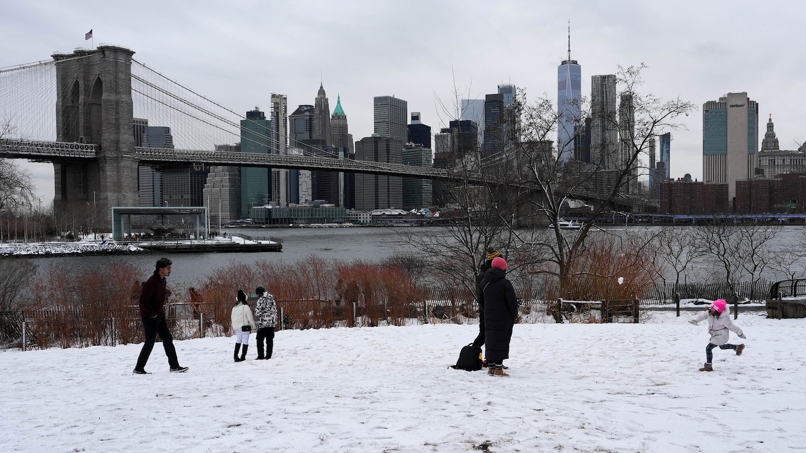
New York City is bracing for its first blizzard warning in nearly a decade, as a powerful nor’easter is forecast to bring heavy snowfall, strong winds, and coastal flooding to the Northeast beginning Sunday. New York Governor Kathy Hochul declared a state of emergency Saturday for 22 counties, including New York City, anticipating snowfall totals potentially reaching two feet.
“We’re all New Yorkers, we think we can handle anything but you require to hear this from me… What we have is one to take seriously,” Hochul said during a press conference. The governor confirmed the National Guard is prepared to assist during the storm.
New Jersey Governor Mikie Sherrill followed suit, declaring a state of emergency for all 21 counties effective noon Sunday. She urged residents to remain home, even suggesting alternative activities: “There’s a great hockey game on in the Olympics tomorrow. U.S. Is going for the gold. Stay at home and watch that. If you don’t have anything else, you could do a puzzle, eat some chili, but whatever you do, try to stay home tomorrow and off the road.” New Jersey Transit President Kris Kolluri echoed the call for residents to stay off the roads, stating that NJ Transit will attempt to maintain regular service while closely monitoring conditions and making adjustments as needed.
The National Weather Service has issued blizzard warnings for southern Delaware, the Jersey Shore, all of New York City, Long Island, and coastal Connecticut, citing confidence in snowfall exceeding one foot and strong winds that will create blizzard conditions. Coastal flood watches are also in effect from coastal Delaware to Long Island and southern New England, anticipating minor to moderate flooding during high tide. AOL.com reports that additional winter weather alerts are expected across the Northeast in the next 24 hours.
New York City Mayor Zohran Mamdani urged residents to stay indoors and off the roads during a Saturday press conference. He warned that Monday morning’s commute will be particularly hazardous due to heavy snowfall and strong winds, creating “slippery conditions and greatly reduced visibility,” as well as “dangerously icy sidewalks and streets.”
Snowfall in New York City is forecast to begin Sunday morning at 6 a.m., intensifying throughout the day. By 6 p.m., intense snowfall and increasing winds are expected to create dangerous conditions overnight and into Monday evening, according to Mamdani. Current projections estimate 13 to 17 inches of snow for the city, with a possibility of up to 20 inches.
The Jersey Shore, Long Island, the southern coast of New England, and Cape Cod are also forecast to experience blizzard and whiteout conditions early Monday, due to the combination of heavy snow and strong wind gusts. By Monday evening, snowfall is expected to taper off across most of the Northeast, though New England may continue to observe intermittent precipitation.
The storm is expected to develop over the coastal Carolinas on Sunday, bringing rain to the Mid-Atlantic and scattered light to moderate snow from Northern Virginia into Pennsylvania, New Jersey, and New York. It will then rapidly intensify off the coast of North Carolina and Virginia as it tracks northeast, bringing heavy snow, strong winds, and coastal flooding to the coastal Northeast by early Monday morning. Lohud reports that a paving project on nearly five miles of I-95 in Westchester is ongoing, potentially complicating travel conditions.