Tropical Cyclone Josie Update: Latest Storm Developments and Forecasts
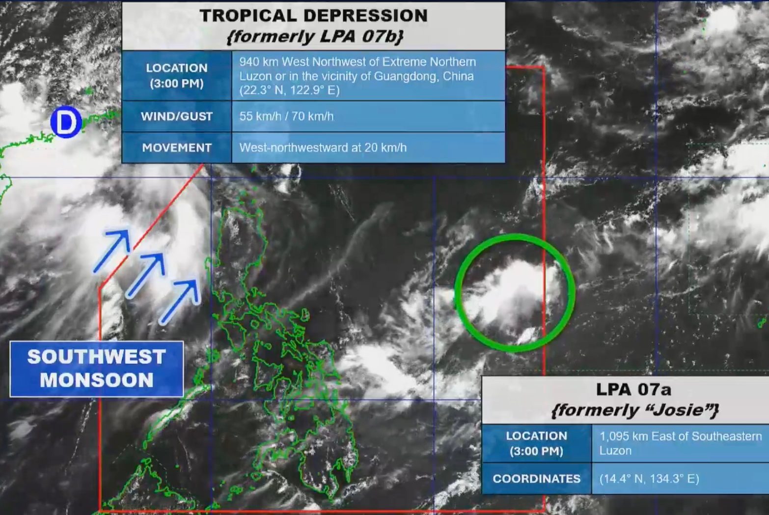
Tropical Depression Josie has weakened into a low-pressure area (LPA) after entering the Philippine Area of Responsibility (PAR), according to the Philippine Atmospheric, Geophysical, and Astronomical Services Administration (PAGASA). While Josie’s impact on local weather remains minimal, meteorological agencies are monitoring a separate weather system, Tropical Depression Haishen, which is expected to enter the PAR within 24 hours.
### Status of Low-Pressure Area Josie
The weather disturbance previously classified as Tropical Depression Josie has dissipated into an LPA, reducing its potential for direct impact on the Philippines. State forecasters reported that the system is currently moving away from the country’s immediate vicinity. Despite its initial classification as a tropical depression, the system’s degradation into an LPA signifies a loss of organized circulation, leading PAGASA to downgrade its threat level. Current data indicates that the system is unlikely to cause significant weather changes or bring heavy rainfall to the archipelago.
### Monitoring Tropical Depression Haishen
While the remnants of Josie move out of the region, weather officials are tracking the approach of Tropical Depression Haishen. PAGASA projections indicate that Haishen is moving toward the PAR and is expected to cross the boundary within a 24-hour window. International weather bureaus, including the Japan Meteorological Agency, have tracked the system’s trajectory, noting that it is currently projected to move in a northward direction over the waters located to the east of the Philippines.