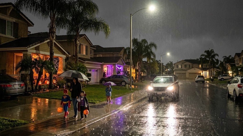
San Diego Expects Weekend Rain and Coastal Flooding Before Monday Sun
San Diego faces a cloudy and wet weekend as a series of weather systems bring continuous precipitation, coastal flooding risks, and shifting temperatures to the region, ksdy.com reported.
Rainfall Expected from Saturday Morning Through Sunday Night
San Diego anticipates a cloudy Saturday with a high near 72 degrees, with rain likely arriving after 5:00 p.m. The National Weather Service estimates an 80% to 90% probability of accumulating at least 0.10 inches of precipitation starting Saturday morning and stretching through Sunday night across areas ranging from the coast to the mountains.
Forecasters warn that heavier downpours could develop, alongside a slight chance of thunderstorms late Saturday night or Sunday morning. Showers remain likely on Sunday, when temperatures will reach a high near 70 degrees and winds will strengthen as the day progresses.
High Tides May Cause Minor Coastal Flooding
Friday. The National Weather Service projects that Friday’s high tide will peak around midday near 7.25 feet, generating minor coastal flooding alongside surf heights between 3 and 5 feet. Stronger winds on Sunday could push localized coastal conditions up to approximately 6 feet.
Authorities advise drivers to allow extra travel time near the shoreline, steer clear of established barricades, and never attempt to drive through floodwaters of unknown depth. These high tides continue to draw attention to coastal roadways throughout the remainder of the week.
Clearing Skies and Moderate Temperatures on the Horizon
Conditions improve swiftly by Monday, which brings sunny skies and a high near 75 degrees. Tuesday follows as a dry and warm day, with coastal and valley maximum temperatures hovering mostly in the 70s. Temperatures drop by about 5 degrees on Wednesday and Thursday compared to Tuesday, bringing slight chances for renewed showers.