
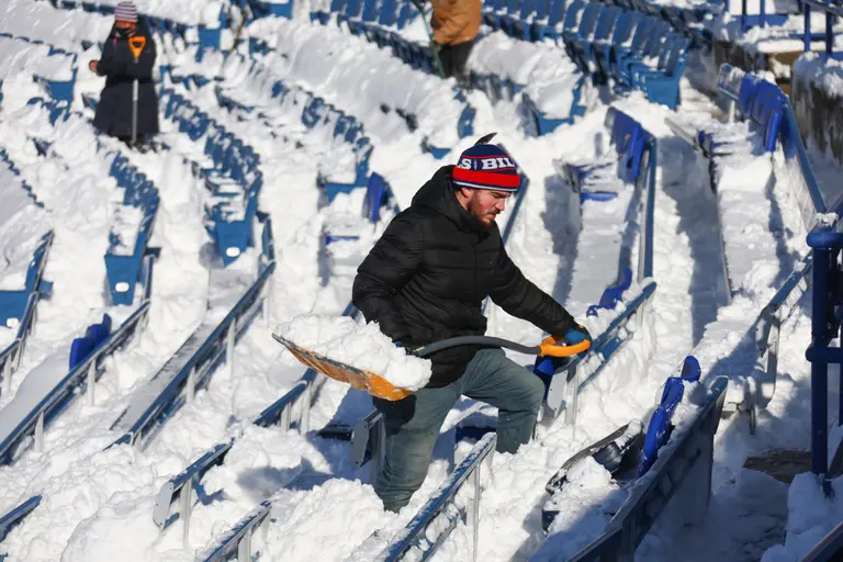
A potent lake-effect snow band is poised to deliver significant accumulations across portions of the Northeast and Great Lakes regions, potentially disrupting travel and daily life as the Thanksgiving holiday approaches. Western New York, notably areas south of Buffalo, is bracing for the heaviest snowfall, with forecasts calling for one to one-and-a-half feet.
The phenomenon, driven by cold air passing over the relatively warmer waters of the Great Lakes, is a familiar but often severe weather pattern for communities downwind. While lake-effect snow is common, the anticipated intensity raises concerns given the recent history of crippling winter storms in the region. Watertown, New York, could see between six and ten inches of snow.
“There have been some really big events in the Buffalo area,” stated meteorologist Considine.”Buffalo is really the king of the ‘lake effect.’ It gets the band coming out of Lake Erie. It’s shallow and relatively warm at the beginning of winter.”
The threat echoes the devastating lake-effect snowstorms that impacted western New York in November 2022, dumping over six feet of snow in some areas.Those storms, the worst New York had seen as at least November 2014, led to roof collapses and stranded motorists-including on a stretch of the New York State Thruway-after some communities south of Buffalo received seven feet of snow in just three days.