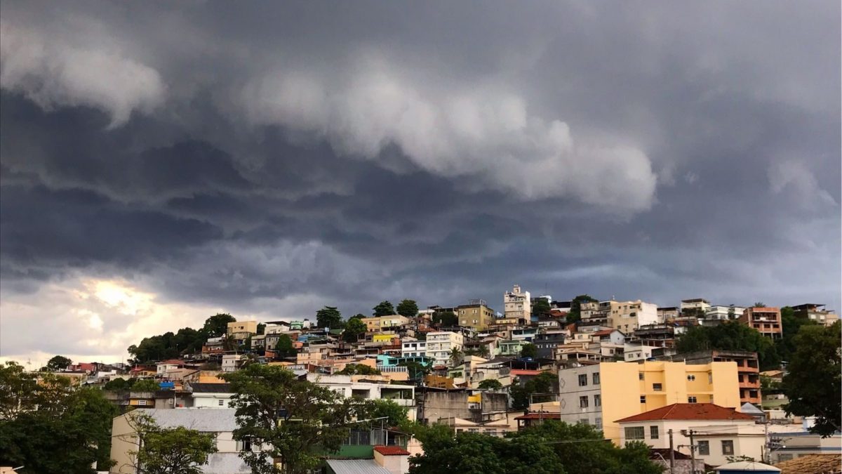
New Cold Front and Cyclone Bring Heavy Rains and Severe Storms to Southern Brazil
The severe weather system is actively destabilizing the region, creating immediate hazards for municipal infrastructure, electrical grids, and local populations. According to data analyzed by Meteored meteorologist Ana Maria Pereira Nunes, extreme precipitation indices point to three days of torrential downpours across Rio Grande do Sul, Santa Catarina, and parts of Paraná. The heaviest accumulations are projected to surpass 200 mm across the northern half of Rio Grande do Sul.
Understanding the Meteorological Mechanics and Regional Impact
The unfolding weather event stems from the interaction between an approaching cold front and a developing extratropical cyclone. The alert details risks including sustained wind speeds ranging from 60 to 100 km/h, hourly rainfall rates between 30 and 60 mm, and significant hail activity.

Communities within the impact zone face immediate threats of structural damage, fallen timber, widespread power outages, and sudden urban flooding.
The unstable weather pattern is further complicated by dramatic temperature shifts. Ahead of the heavy precipitation, the region is experiencing a notable warm-up, with temperatures projected to peak near 30°C in parts of Rio Grande do Sul and climb as high as 34°C in areas of Santa Catarina, according to forecasts from Epagri/Ciram.
Expanded Geographic Reach Across Eight States
Beyond the immediate southern core, broader atmospheric dynamics are pulling a total of eight states into the risk corridor. According to regional forecasts, a developing trough system is driving storm activity northward into São Paulo, Mato Grosso do Sul, Minas Gerais, Rio de Janeiro, and Espírito Santo.

Climatological assessments attribute this active pattern to a combination of factors, including negative values of the Antarctic Oscillation, which facilitate the steady inland advancement of frontal systems, alongside moisture transport linked to the El Niño phenomenon. These combined drivers suggest that September may commence with above-average rainfall across much of the central-southern territory.
As municipalities prepare for prolonged precipitation events, local authorities are urging residents in flood-prone zones to monitor official updates closely.
With cumulative rainfall totals threatening to exceed historical averages for the late-winter period, emergency services remain on high alert across the affected states. The convergence of high-velocity winds, saturated soils, and intense electrical storms underscores the necessity of continuous community preparedness as the cold front tracks across the country.