Mt. Rainier records 101 mph wind gust as storm sweeps Pacific Northwest
A storm swept into the Pacific Northwest on Sept. 25, 2026, bringing a 101 mph wind gust to Mt. Rainier’s Camp Muir and knocking out power to more than 60,000 customers across the region. The low-pressure system cut across the Puget Sound region, producing high-velocity winds that impacted both high-elevation terrain and low-lying coastal areas.
High-Altitude Impact at Mt. Rainier and Lowland Gales
The storm delivered its most extreme winds to high-elevation areas early Friday morning. A weather station at Mt. Rainier’s Camp Muir, sitting at an elevation just over 10,000 feet, recorded a peak gust of 101 mph. While triple-digit wind gusts occur during regional fall and winter systems, meteorologists noted that achieving such speeds in late September is unusual.
Lowland areas along the southern Washington coast also experienced severe winds as the system came ashore. A trio of wind gauges positioned at the mouth of the Columbia River recorded gusts reaching at least 70 mph. The Astoria-Megler Bridge, which carries U.S. 101 across the Columbia River between Oregon and Washington, registered a peak gust of 71 mph just 10 minutes after hitting 70 mph.
Neighboring coastal locations mirrored those conditions. Clatsop Spit on the Oregon side near Warrenton and Cape Disappointment on the Washington side each recorded peak gusts of 70 mph. Further up the Washington coast, Westport sustained winds reaching 57 mph.
Inland Track and Disparate Impacts Across Puget Sound
As the low-pressure center tracked across Southwestern Washington, strong winds swept inland. The system cut across the Interstate 5 corridor, passing just north of Olympia and through Tacoma and Kent before moving into the Cascades.
Because the strongest winds typically concentrate on the southern side of a low-pressure center, the storm effectively divided the Seattle and Puget Sound region near the Interstate 90 corridor. Southern locations recorded notable gusts, including 54 mph in Olympia, 55 mph in Shelton, and 45 mph in Gig Harbor along the Tacoma Narrows Bridge. Sea-Tac Airport marked the northern threshold of the strongest wind influence with a peak gust of 38 mph.
Areas north of the airport experienced minimal wind activity. No weather gauges along the Interstate 5 and Interstate 405 corridors north of Sea-Tac recorded gusts exceeding 30 mph, with the exception of a 35 mph reading in the eastern hills southeast of Bellevue.
Power Outages and Structural Vulnerability
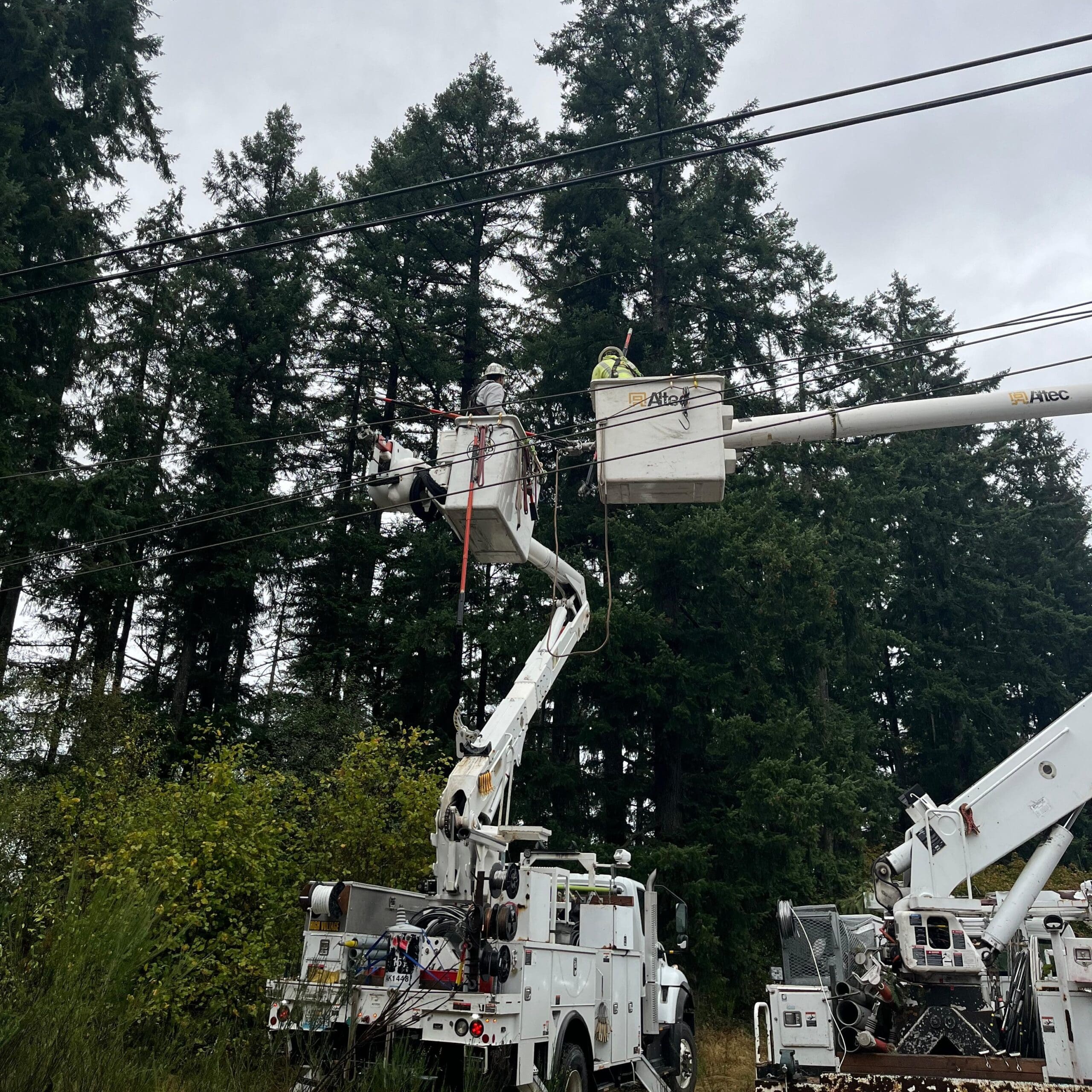
Despite lower wind speeds in certain sectors, extensive power outages occurred across the region. Un-pruned leafy trees and dead branches, left intact following a warm and dry summer, made local power lines highly vulnerable to falling limbs.
PowerOutage.US reported that more than 60,000 customers were without power Friday afternoon in the South Sound. The vast majority of these outages affected customers served by Puget Sound Energy. Property owners facing downed trees, damaged roofing, or compromised electrical connections frequently turn to local emergency restoration contractors and tree service professionals to clear debris and secure damaged structures.
Transition to Cooler Weekend Weather
The storm system shifted eastward by Friday afternoon, setting the stage for calmer conditions heading into the weekend. Forecasts indicate dry weather accompanied by an autumn chill, with daytime high temperatures struggling to reach the low 60s and overnight lows dropping into the 40s.