Following the October 29, 2024 DANA floods, the Generalitat Valenciana has identified 1,546
Following the October 29, 2024 DANA floods, the Generalitat Valenciana has identified 1,546 hectares of secure, non-floodable land across 89 municipalities in the Valencia metropolitan area, providing prospective ground to build approximately 131,500 homes, as reported on November 6, 2026.
The technical study maps out 16 pockets of land suitable for residential and industrial growth. It spans an analyzed territory of 1,951 square kilometers across 86 municipalities, according to figures shared by regional officials.
Mapping Industrial and Residential Expansion After the DANA Floods
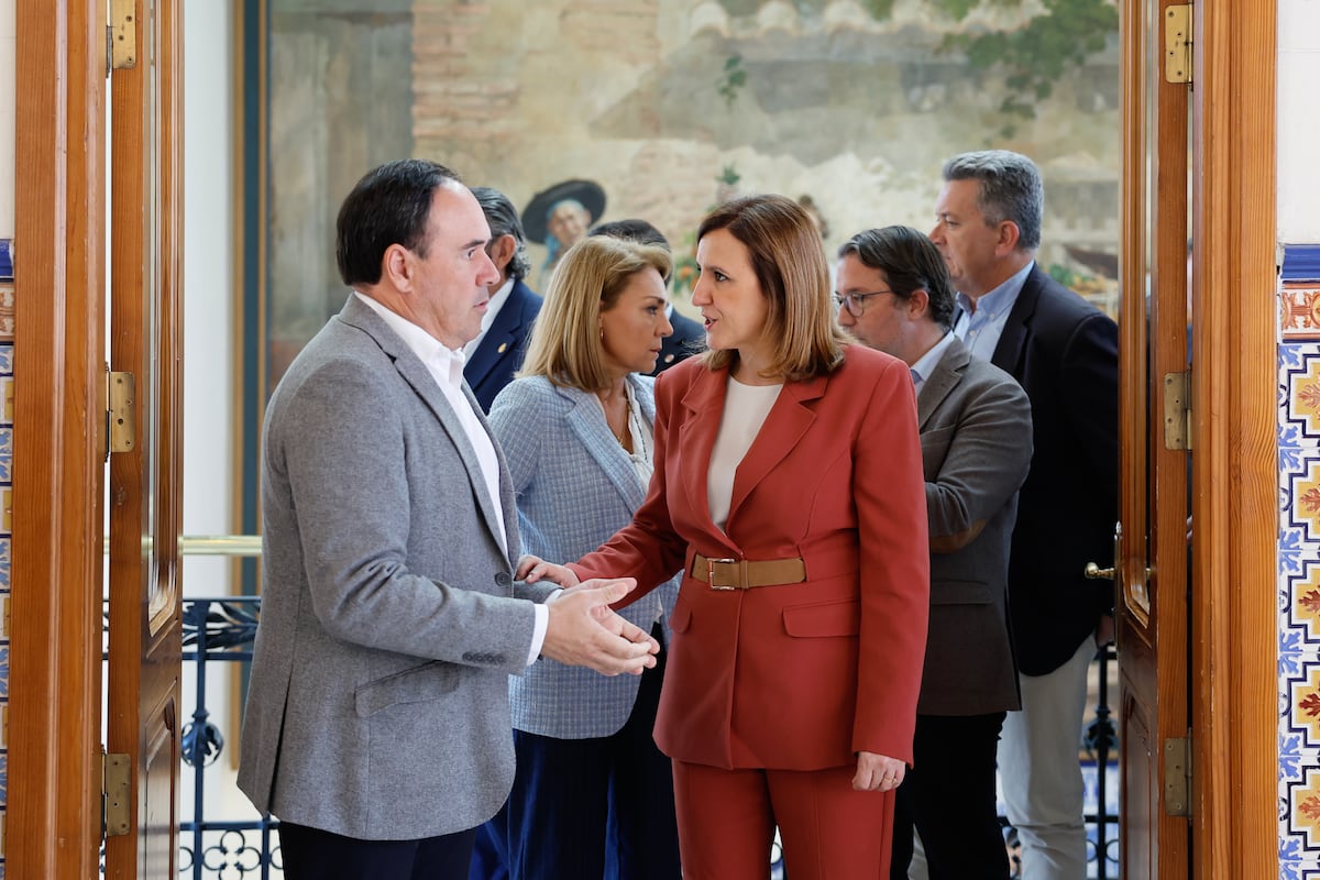
Regional authorities emphasize that the technical report serves purely as a planning instrument rather than an automatic reclassification or a new law. President of the Generalitat Juanfran Pérez Llorca presented the findings alongside Valencia Mayor María José Catalá. Pérez Llorca stated that the tool aims to restore public confidence by directing future homes and businesses toward secure locations. Va a facilitar a los ayuntamientos localizar el suelo más idóneo con potencial residencial en un momento en el que el acceso a la vivienda es uno de los principales problemas sociales en España,
he underlined, adding that the report is a tool necesaria para devolver la confianza a la gente y que sientan que su nueva casa será un lugar seguro o que pueden volver a abrir un negocio.

While one set of figures outlines a total of 1,546 hectares earmarked for roughly 131,500 potential dwellings, another lists the figure slightly higher at 1,550 hectares of flood-free land. In addition to residential zones, the spatial analysis identifies nearly 1,600 hectares of land designated for industrial and logistics operations.
Led by Alejandro Escribano, the official in charge of Valencia’s PGOU, the initiative draws directly upon cartography developed in the wake of the 2024 disaster. Municipalities gain a clearer framework to locate optimal plots amid an acute housing supply crisis.
Integrating Urban Planning with Hydraulic Infrastructure Defenses
Territorial planning alone cannot prevent future environmental damage, according to regional leadership. Pérez Llorca insisted that blueprint adjustments must run parallel to physical water defense engineering projects, stating that La ordenación del territorio hay que completarla con las obras de defensa hídrica pendientes.

The regional government is advancing complementary safeguards. These include updates to the Patricova flood-prevention plan, which designates the three Valencia districts impacted by the DANA as flood zones and introduces stricter building regulations. New developments face mandatory elevation of habitable floors and tighter restrictions on underground parking facilities.
Mayor María José Catalá pointed to three core planning documents currently guiding local reconstruction: the updated Patricova, the specific flood zone layout, and the newly unveiled soil safety analysis. Local authorities have already updated urban regulations in areas like La Torre to require elevated parking configurations alongside new stormwater holding tanks. Martínez Mus highlighted the role of dialogue and cooperation in managing the reconstruction, pointing to the work of the Joint Commission in assisting municipalities and maintaining dialogue with the Júcar Hydrographic Confederation, which participated in the revision of the Patricova and consulted on the newly presented study alongside the affected town halls.