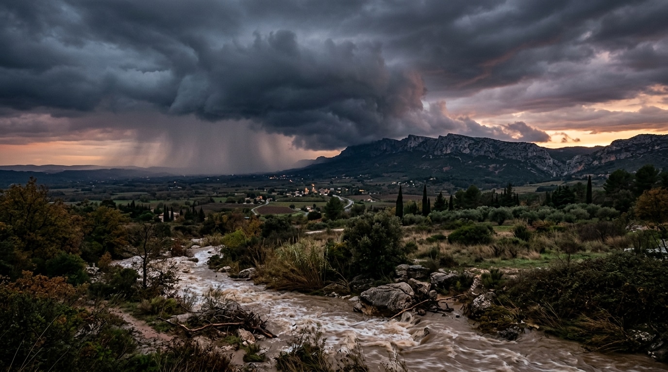
First Cévenol Episode of 2026: Severe Flooding and Heavy Rain Warned for Southern France
Southern France is bracing for its first major Cévenol episode of 2026, with meteorological forecasts projecting up to 300 mm of rainfall across the Gard region.
The Atmospheric Mechanics Behind the 2026 Cévenol Deluge
The severe weather event is driven by a well-defined meteorological setup characteristic of autumn in southern France. A warm, humid wind originating over the Mediterranean Sea pushes northward, slamming directly against the Cévennes mountain massif. This convergence forces warm and cold air masses together, generating dense, moisture-laden rain clouds. Because these cloud systems become physically trapped against the rugged relief of the mountains, they stagnate and continuously empty heavy precipitation over the same geographic corridor for hours or even days.
Meteorological models indicate that the incoming disturbance originates from a deep low-pressure system over the North Atlantic. Pushing a cold front toward France, this system interacts with maritime moisture and the Autan wind, generating coastal gusts reaching up to 80 km/h. While September 2026 brought persistent warmth with temperatures lingering between 28 and 29 degrees Celsius, this atmospheric shift introduces a sudden and violent meteorological transition.
Regional Rainfall Totals and Territorial Impact
Precipitation forecasts vary significantly depending on elevation and geography, distinguishing between mountain rain traps and vulnerable lowland plains. Detailed projections from forecasting models outline specific regional impacts between Tuesday evening and Thursday afternoon:

- Cévennes Relief (Hérault and Gard heights, Mount Aigoual): Up to 200 mm of localized precipitation.
- Gard Region: Peak accumulations reaching up to 300 mm, equating to hundreds of liters of water per square meter.
- Lowlands and Littoral (Hérault, Gard, Southern Ardèche, Lozère): General totals ranging between 100 and 150 mm.
- Pyrénées-Orientales (Albères, Vermilion Coast): Localized peaks surpassing 30 to 50 mm on frontier reliefs.
Although the mountainous reliefs absorb the bulk of the initial downpour, regional forecasters emphasize that the primary danger manifests further down in urbanized plains and coastal sectors. As continuous heavy rainfall saturates the soil, absorption capacity diminishes entirely. Unabsorbed water cascades down slopes, funneling into streets and low-lying urban sectors where flash flooding can materialize with little warning.
Urban Vulnerability Across Montpellier, Nîmes, and Marseille
The progression of the storm system follows a distinct geographic trajectory from west to east. Initial heavy downpours and associated surface runoff target Montpellier and Nîmes before the threat shifts eastward toward Avignon and Marseille in subsequent phases. Because the event spans a duration of 36 to 48 hours of steady, repeating downpours, the cumulative saturation poses a severe challenge to municipal stormwater drainage networks.
While Météo-France had not issued official orange vigilance alerts at the initial onset of the sequence, civil protection authorities urged heightened vigilance across the Languedoc, the Gulf of Lion, and surrounding departments. Property owners and municipal managers in flood-prone sectors face immediate infrastructure risks as drainage capacities are tested by extreme precipitation rates.
Precedent and Seasonal Context
This late-September event marks the inaugural Cévenol episode of the 2026 autumn calendar, a seasonal phenomenon typically expected between September and November, though occasionally observed during spring months like March and April. The last comparable multi-day severe weather sequence occurred in December 2025, providing regional authorities with a recent hydrological benchmark for emergency response protocols.
As weather patterns continue to oscillate between unseasonal warmth and abrupt atmospheric instability, regional infrastructure remains directly exposed to the compounded pressures of intense maritime precipitation. Communities situated between the southern mountain ranges and the Mediterranean coast must maintain strict preparedness standards as prolonged storms move across the affected departments.