
NASA’s SWOT Satellite Reveals Unprecedented Detail of Earth’s Seafloor
A new global map of the seafloor, created using data from NASA’s Surface Water and Ocean Topography (SWOT) satellite and advanced statistical and machine-learning tools, is providing an unprecedented level of detail about the underwater landscape. The map,published October 20,2023,in the journal Science,promises to improve navigation,ocean modeling,and hazard planning.
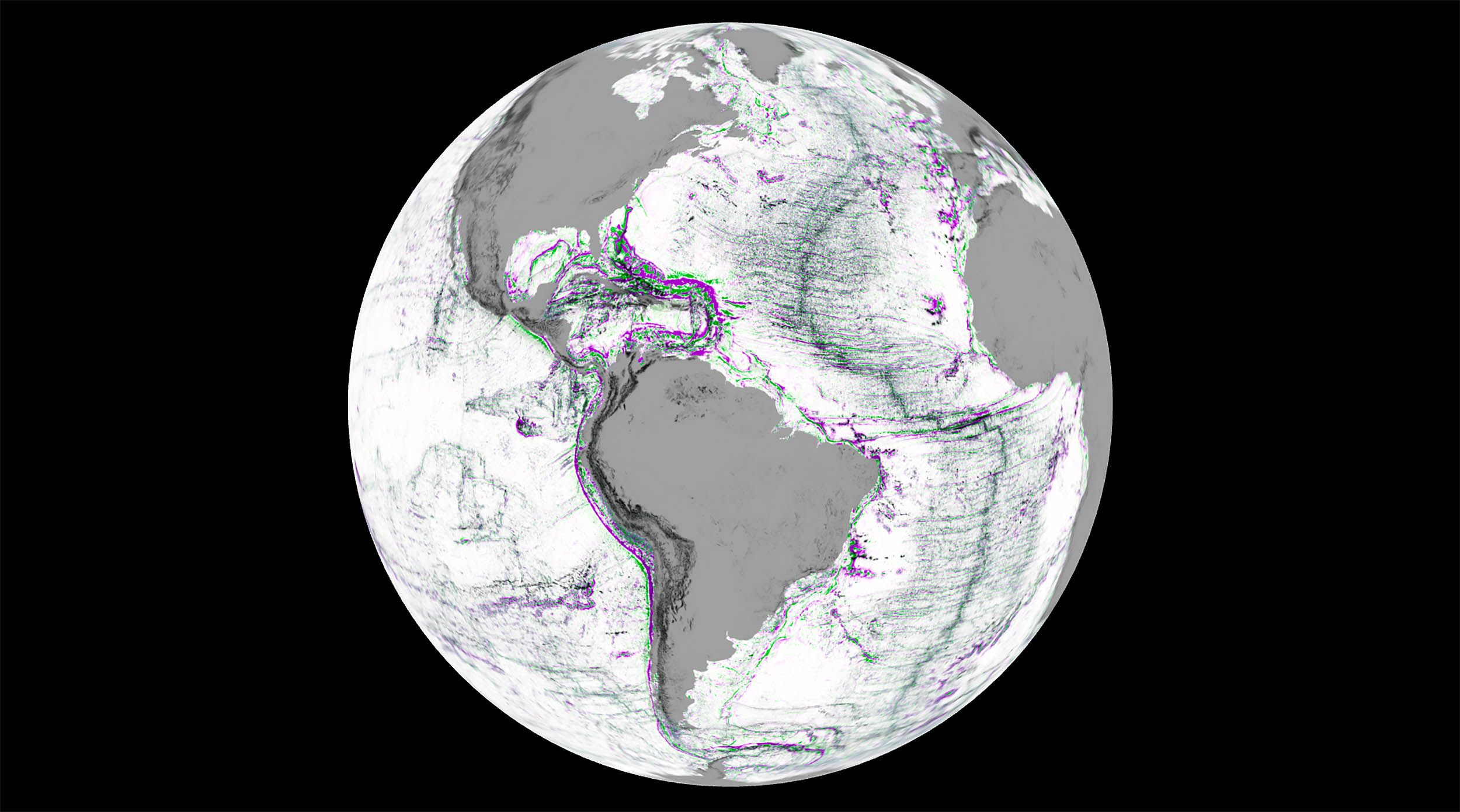
The technique relies on the principle that variations in mass beneath the ocean surface subtly alter gravity, causing minute changes in sea surface height. By precisely measuring these height variations and converting them into gravity gradients, scientists have generated a detailed portrait of seafloor features.
The map reveals hidden structures including abyssal hills, seamounts, and canyon systems, offering new insights into plate tectonics, volcanic activity, and the boundaries between continents and the deep ocean. The coverage spans most of the globe with a fine horizontal resolution, showcasing previously unseen seafloor details. The unit of measure for the gravity-based data used to create the maps is the Eotvos.