
Increased Rain & Warm Temperatures Expected in Florida Next Week; Tropical Storm Gabrielle Poses No Threat
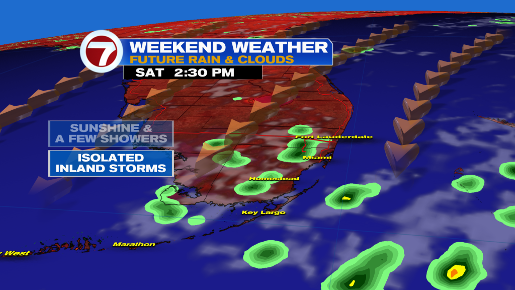
South Florida residents should prepare for a shift in weather patterns next week, with rising humidity bringing increased chances of showers and thunderstorms. High temperatures are forecast to remain in the 90s, with overnight lows in the 70s. While a quiet atlantic hurricane season continues, forecasters are monitoring Gabrielle and a developing tropical wave.
The approaching increase in moisture will elevate rain chances across the Sunshine State, potentially impacting outdoor activities, including college football’s upcoming GameDay events. Despite the heightened possibility of localized storms, Gabrielle, currently the only named storm in the Atlantic, is tracking out to sea and does not represent a threat to Florida. A second tropical wave off the coast of africa is being watched for potential progress, though current conditions suggest a low probability of it strengthening substantially in the short term.
Gabrielle is expected to become a hurricane as it moves further away from land. Computer models indicate the African wave will generally move westward, with conditions potentially becoming more favorable for development further west. The next name on the list for potential tropical systems is Humberto.