Why Forest Monitoring Fails on the Ground Despite Satellite Technology
Satellite deforestation monitoring provides critical detection of forest loss from orbit, yet the primary bottleneck in tracking canopy change lies in complex legal definitions and local administrative mapping rather than satellite orbits, according to legal analysis from Legal Planet. While remote sensing technology efficiently flags changes in surface cover, the resulting data figures ultimately depend on how individual institutions and monitoring systems define forests.
Orbiting Sensors Track Earth’s Canopy Cover
Comparing Images Across Space and Time
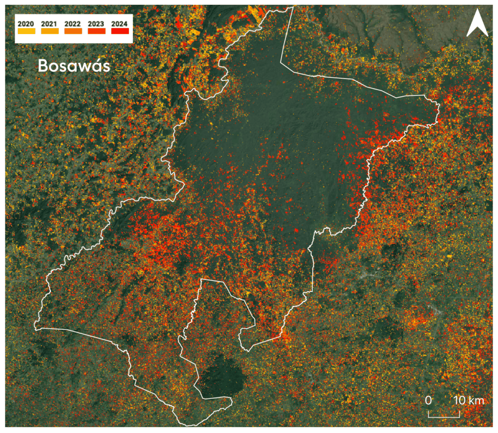
Forest loss is detected at scale primarily by comparing satellite images of the same geographic location taken at different dates to identify where tree canopies have disappeared.
Satellites do not record deforestation directly. Instead, they measure radiation reflected from the Earth’s surface. Living forest stands out because its canopy reflects light in a distinctive manner. When a forest is cleared, that signal changes, allowing repeated observations to flag areas where canopy cover is absent.
Periodic Assessments Versus Near-Real-Time Alerts
This earth observation process relies on two distinct operational modes. Periodic assessment produces consistent statistics of forest area and loss over multi-year spans. The Global Forest Resources Assessment, compiled by the Food and Agriculture Organization (FAO), serves as standard international reporting in this category by drawing country-level figures into a comparable record.
Near-real-time alerts form the second mode, flagging recent clearing within days or weeks using frequent imagery from Landsat and Sentinel satellites so authorities can respond while an event unfolds.
The Thresholds That Dictate Recorded Loss
A detail shaping every satellite-derived result is the definition of the forest itself. Monitoring systems apply specific thresholds for canopy cover, minimum area requirements, and minimum mapping units below which land-cover change is not recorded. These parameters dictate which clearings register in the data and which fall beneath the threshold, directly influencing reported totals. The European Commission’s Joint Research Centre (JRC) produces tropical and global forest-monitoring products using these parameters, while independent data archives are distributed through NASA Earthdata.

Bridging Orbital Signals and Local Jurisdictions
To gauge reliability, detected losses undergo validation against higher-resolution imagery and ground-level field data. However, Legal Planet notes that the physical capability of orbiting sensors often outpaces the legal and administrative frameworks required to process, classify, and act on the data locally. Technical detection from space is largely established, but translating those orbital signals into official land-use categories involves complex jurisdictional thresholds that slow down comprehensive tracking.
