
Storm Dexter Spares Ireland Direct Hit But Brings Humid Air
Remnants to Deliver Patchy Rain, Warmer Temperatures Expected
A powerful tropical storm, formerly known as Dexter, is charting a course across the Atlantic, but it will not make landfall in Ireland. While the nation is spared the brunt of the system, its lingering effects are set to influence the weather pattern.
Forecasters Monitor Storm’s Transition
Initially detected last Sunday evening, Storm Dexter was situated roughly 300 miles west-northwest of Bermuda. Since then, it has been progressing northeastward. Irish meteorological service Met Éireann has confirmed that the storm is undergoing an extra-tropical transition and is weakening.
“Tropical Storm Dexter has now undergone extra-tropical transition and is weakening. The remnants of the ex-tropical storm will move across the Atlantic and send some patchy rain and drizzle our way, particularly to the west and northwest of the country, on Sunday afternoon. However, there is no impactful weather expected.”
—Met Éireann Spokesperson
Warming Trend on the Horizon
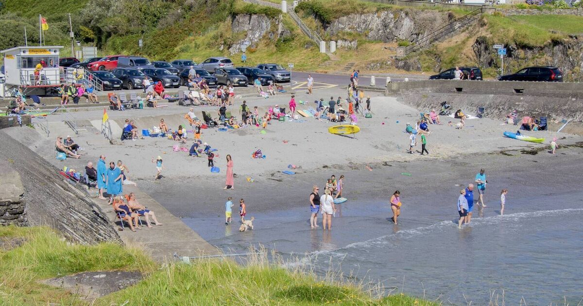
The passage of Dexter’s remnants will introduce some mild and humid air, driven by a more southerly airflow. This shift is anticipated to bring warmer, more humid conditions early next week, with thermometers potentially reaching the low to mid-20s Celsius. Despite periods of sunshine, the possibility of some heavy showers exists.
As of early July 2024, the average UK temperature for June was around 15.2°C, a figure that could be surpassed in Ireland with this incoming southerly flow (Met Office).
Unsettled Conditions Persist
The coming days are expected to feature unsettled weather across Ireland. Friday will see scattered showers, becoming isolated in the evening. Cloud cover is predicted to increase from the northwest later on Friday.
Saturday morning will begin with a band of rain moving southeastward from the north, clearing the south coast by early afternoon. This will be followed by sunny spells and isolated showers, with temperatures ranging from 16°C to 21°C.
Sunday’s forecast indicates sunny spells, particularly in the north and east. However, cloud is expected to build from the southwest throughout the day, bringing patchy rain. Large parts of Leinster may remain dry but could become overcast by evening.
Midweek onwards, a return to a fresher westerly airflow is likely, bringing temperatures back down to the high teens, though precise details remain uncertain.