Triple-Digit Heat and Heat Dome Return to North Texas
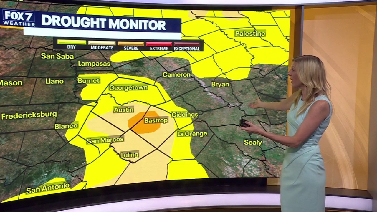
Triple-digit heat and expanding drought conditions are locked across Central and North Texas as an intense high-pressure ridge takes firm control of the region, pushing afternoon temperatures well above seasonal averages. High temperatures in the Dallas-Fort Worth area are forecast to hit 101 degrees with heat index values reaching up to 107, while meteorologists warn that drought-stricken soils and low moisture levels will amplify the ongoing warming trend through the upcoming workweek.
The Macroeconomic Friction of Persistent Heat Domes
The current weather pattern stems from an unusually robust high-pressure system sitting over the central and southern United States. According to the FOX 4 Weather Team, high pressure remains in firm control with zero precipitation in the immediate forecast, keeping afternoon highs anchored between 102 and 105 degrees through Friday. While North Texas received measurable rainfall earlier in the season, rapid evaporation rates are accelerating soil moisture deficits.
Amplified Feedbacks and Infrastructure Vulnerabilities
Daniel Swain noted in analysis reported by NBC News that drier and hotter air actively worsens drought conditions, creating a self-reinforcing vicious cycle where depleted soil moisture fails to slow daytime atmospheric warming. This compounding feedback loop significantly heightens regional wildfire risks.

| Region / City | Forecast Condition | Temperature Metric | Attribution / Source |
|---|---|---|---|
| Dallas-Fort Worth | Heat Advisory in effect; extreme high-pressure ridge | Afternoon highs: 102–105°F (Heat index up to 107) | FOX 4 Weather Team / National Weather Service |
| Southeast U.S. (Miami, Tampa, Galveston) | Record-shattering nighttime heat | Temperatures will not drop below 80°F at night | Climate Central (Shel Winkley) / NBC News |
| Great Lakes & Ohio River Valley | Severe thunderstorm risk along ridge perimeter | Enhanced storm activity | FOX 4 Weather Team |
Attribution Science and Fiscal Forward-Looking Strategy
Climate Central meteorologist Shel Winkley pointed out via NBC News reporting that modern attribution science demonstrates how greenhouse gas concentrations make current extreme heat events virtually impossible without long-term anthropogenic warming trends. A 20,000-square-mile swath stretching from Southern California to northern Minnesota currently registers the highest level on the Climate Shift Index.

Relief for Central and North Texas remains distant. A weak cool front is projected to arrive late Friday night into Saturday morning, bringing only a slight 10 percent chance of precipitation before moderating temperatures back toward the upper 90s by Sunday.