A gentle turn in the weather Weather news10.10. 21:50
#gentle #turn #weather #Weather #news10.10
meteorology
Exceptionally warm air is coming to Finland – 2024-10-07 07:29:43
Two low pressure storms will arrive in Finland next week.

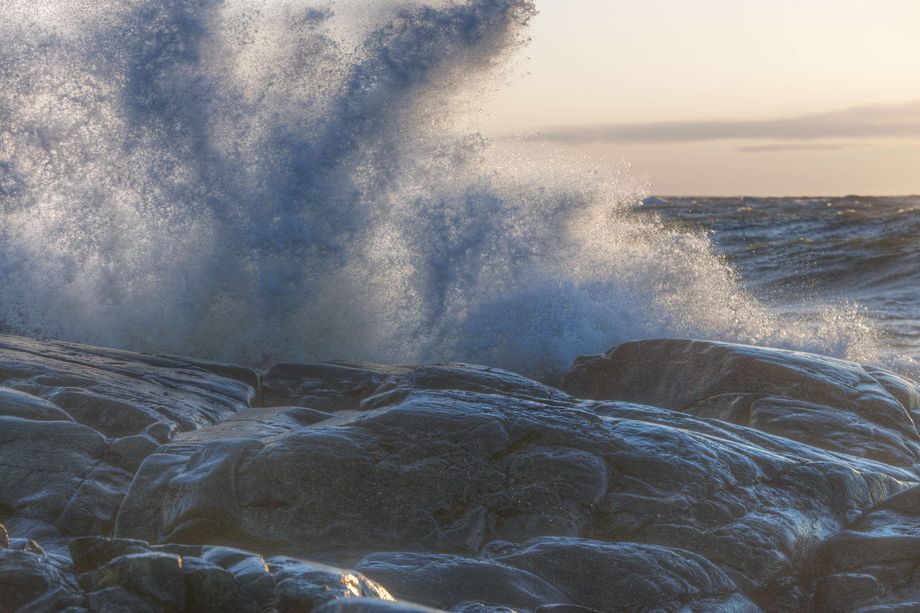
The starting week has two parts. In addition to the noise, there is expected to be exceptionally warm air for the time. SAULI KOSKI/ Reader’s photo


(updated )
October has started with variable autumn weather in Finland. The weather has varied from sunny warm to snow and sleet.
According to Foreca, the weather will continue to vary for the next week.
Foreca’s on-call meteorologist Joanna Rinne says that the beginning of the week is relatively calm in terms of weather.
– Some local rain may occur, but Monday is largely a dusty day. On Tuesday, the weather in Finland will start to cloud over and local rain will occur mostly in the west, Rinne says.
According to the Finnish Meteorological Institute, on Monday the weather will be dusty in most of the country and sunny in the north.
At the beginning of the week, daytime temperatures range from 5–10 degrees in the southern and central part of the country to zero degrees in Northern Lapland.
Turn
On the night between Wednesday and Thursday, the weather will take a more dramatic turn.
– Finland is affected by a low storm pressure, which brings with it storm readings, especially in sea areas, and rain can occur in a large part of the country. According to the forecasts, heavy rains are also on the horizon, Rinne says.
The wind speed may be up to 25 meters per second in some areas.
Wind damage is possible in both storms next week. Tiia Heiskanen
Hurricane Kirk arrives for the weekend
Iltalehti previously reported that Hurricane Kirk raging in the North Atlantic can also affect the weather in Finland. At its strongest, the hurricane is classified as a category four hurricane on a five-point scale.
– The next storm low pressure is coming around Friday or Saturday. It’s the remnants of that Hurricane Kirk then. According to the current forecast, we can expect possibly very similar winds compared to the previous one.
The heavy rains seem to be on Sweden’s side at the moment, but the meteorologist points out that the forecast can still change.
– Forecasts will become more precise, and it doesn’t take a big leap in the storm’s movements for heavy rains to come to us as well.
Hurricane Kirk seems to be pushing unusually warm air into Finland for the time as well.
– Kirk pushes warm air and that warm air also gets here. The highest temperatures remain over the Baltics, but in Finland the temperature rises to 15–16 degrees.
The warm air brought by the storm is enough to cover the whole of Finland, and temperatures of up to 10 degrees are measured at the height of Oulu. In Northern Lapland, temperatures are up to five degrees.
Wind speeds in Kirk’s aftermath match the storm a week earlier.
– Almost the entire country can expect such winds, in which gusts local wind damage may be possible.
– You should fasten the trampolines properly or be prepared for the fact that branches or even trees may fall due to the winds, says meteorologist Joanna Rinne.

#Exceptionally #warm #air #coming #Finland
A hurricane is approaching Europe – This is how it can affect the weather in Finland – 2024-10-05 18:12:57
Hurricane Kirk appears to be weakening to a tropical storm, but could still wreak havoc in Western Europe.

The remnants of the hurricane can be seen in Finland as heavy rains, but also as exceptional heat. Inka Soveri
A powerful tropical cyclone is currently raging in the North Atlantic between the Canary Islands and Florida in the United States, says Foreca. The storm named Hurricane Kirk, which started in Cape Verde about a week ago, has intensified over the course of a week, so that it was at its strongest during Friday evening and Saturday night, when the wind speed was momentarily over 60 meters per second.
At this point, Kirk was a category four hurricane. There are a total of five categories describing the strength of a hurricane.
During Saturday, Kirk has weakened to category three and is moving north of the Azores, approaching Europe.
– The hurricane is very powerful considering its location: usually fourth or fifth category hurricanes are found clearly further west, where the sea water is warmer, writes the meteorologist Markus Mäntykannas On Foreca’s website.
Next Wednesday, Kirk is forecast to weaken to a tropical storm west of Portugal. From there, the storm is continuing its journey towards continental Europe.
According to forecasts, the impact of the remnants of the hurricane can be felt in Western Europe: the wind can blow at hurricane readings, i.e. more than 33 meters per second, on the Iberian Peninsula and in France. Storm gusts are expected even more widely. Waves hitting the northern coasts of Spain and Portugal could be over 10 meters high, and heavy rains could cause flooding in western and central Europe.
Effects in Finland
During Thursday, the storm is predicted to move from France towards Scandinavia.
If the storm progresses according to the forecasts, it may push very warm air to the east towards the Baltic countries and Finland. In the Baltic countries, the temperature could rise up to around 20 degrees, and in Finland, 15 degrees could break at the end of next week.
The gusts of the hurricane will probably also bring heavy rains and stronger winds to Finland.

#hurricane #approaching #Europe #affect #weather #Finland
The meteorologist was amazed by September’s statistics – “Unheard of” – 2024-10-01 21:51:45
September was as warm as last year’s record September.

In September, there was warmth and sun. Pete Anikari
The average temperature at the end of September was record high in Finland, says the Finnish Meteorological Institute.
The average temperature of the entire country was 12.2 degrees, which was the same as in September last year. September was about 2–4 degrees warmer compared to the comparison period 1991–2020.
– It is unheard of that the average temperature in Finland is record high in the same month in consecutive years, Meteorological Institute meteorologist Pauli Jokinen comment.
According to the Finnish Meteorological Institute, the probability of such a warm September in the current climate is about 23 times compared to a situation where there would be no climate change.
It was record warm in September at the measuring stations in the eastern and northern parts of the country.
September was also a record-breaking month, as eight hot days were measured during the month. It was a new record for hot days in September.
The highest temperature in September was 28.0 degrees on September 5. Kaarina’s Yltöini and Turku Airport. It was the highest reading measured in September since 1968.
The lowest reading of the month, -9.8 degrees, was measured in Sodankylä Vuotso on September 23.
After a warm September, a colder October is expected. This is how autumn turned into winter in just one night in Pori at the end of October 2023. Reader’s video

#meteorologist #amazed #Septembers #statistics #Unheard
Temperatures are plummeting now – 2024-09-28 05:39:24
The weather will get colder at the weekend.

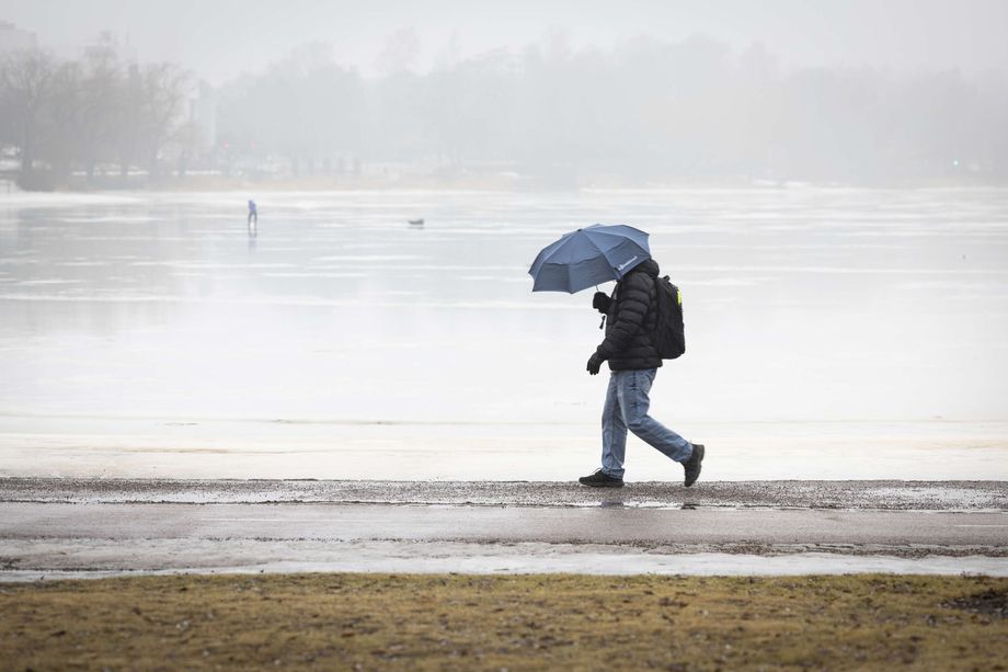
The weather will clearly turn more autumnal this week in the southern parts of the country as well. Jenni Host


(updated )
The weather will continue to be rainy, in addition to which the temperatures will drop, the Foreca meteorologist Joanna Rinne says in the weather blog. The warmest on Saturday and Sunday will be in the south-east and south, even there only about 13 degrees,
On Saturday, the rain showers will be concentrated in the southern and northern parts of the country. It will also rain in the east, especially on Saturday evening and night. However, the wind calms down. The windiest is in the eastern parts of Lapland. According to the Finnish Meteorological Institute, a wind warning for land areas is still valid in South Savo, as well as North and South Karelia on Saturday morning. The wind speed in a gust can be 15 meters per second.
On Saturday, daytime temperatures will be 9–13 degrees in the southern and central parts of the country, and 2–8 degrees in the north.
By the night before Sunday, the weather will clear up and the temperature in Lapland will drop to freezing.
It will rain during the day, especially in the northeast, which will be spared the worst rains on Saturday. In the rest of Finland, Sunday is clearly clearer than Saturday, even sunny. Maybe even suitable for raking or mushroom forest.
In the southern and central parts of the country it is 9–11 degrees and in the north 2–7.
Next week
At the beginning of the week, the rains are local. So the weather is clearly clearer.
Monday will be quite sunny, but Cloudiness will increase in the following days. During the beginning of the week, daytime temperatures will remain around 10 degrees in the southern and central parts of the country, 5–8 degrees in Lapland, and only 2–4 degrees in the arm.
Towards the end of the week, the forecast worsens, but with these prospects, the rains will increase. In the north, rain can come as sleet and snow.
– If the combination of a cold air mass and rainy weather materializes, it will snow, maybe even snow from time to time with water rain, not only in the north, but also in the central part of the country, says Rinne.
At the end of next week, temperatures may remain below 10 degrees throughout the country.
Stock photo. Jenni Host

#Temperatures #plummeting
Do you live here? This weather warning applies to you – 2024-09-26 16:51:14
Thursday has been rainy and windy all over the country, storm readings have been measured in Perämere. More heavy rains and wind gusts are expected.

Illustration of a rainy day Steps Leino / AL
Rainy and windy weather will continue in parts of the country for the rest of the week. In the north, it’s getting close to freezing.
– On Friday, the heaviest rains will be concentrated in the southern and western parts of the country and in Western Lapland, the wind is widely gusty. The weather will cool down for the weekend. On Saturday, the rains will be even more widespread, on Sunday the weather will be dustier and sunnier. In central and northern Lapland, some of the rain during the rest of the week will be snow, says Foreca.
On the night before Friday, in the clear areas of Lapland, the temperature will drop a bit below freezing. In general, in the north and in the provinces of Ostrobothnia, the night temperatures are a little around 5 plus degrees on both sides, and in the southern and central parts of the country 8–14 plus degrees.
– Low pressure with rain is moving over Finland towards the northeast. The wind is gusty in the southern and central part of the country, in the evening there are gusty winds as far as Lapland. There is a big variation in the amount of rain on Friday: 10–30 millimeters of water will fall in many places, 5–10 millimeters in the east and Kainuu. In northern Lapland, there is dust in some places, Foreca meteorologist Anna Latvala tells.
The Finnish Meteorological Institute issued a wind and wave warning for Friday, which applies to southern Finland and almost all sea areas. The Finnish Meteorological Institute also published an observational video of the progress of the gusts.
– Low pressure will arrive from the southwest on Friday, which will bring heavy rains and strong gusts in some places. Especially near the southern coast, it can rain heavily from time to time and Gusts can be strong during the afternoon rush hour. In the video, there are rains on the left, gusts on the right, the Meteorological Institute’s X account says.
Up to 10 centimeters of snow
On Friday, 1–5 centimeters of snow may fall locally in Central and Northern Lapland.
During the day on Friday, the temperature in the southern and central part of the country will be widely 13–18 degrees, in Ostrobothnia it will be in phases of 10 degrees. In many places in the north it is 7–13 degrees, but in central and northern Lapland only 3–8 degrees.
– On Friday evening, the wind will strengthen even more in the southern sea areas. From Friday evening, there may be storm gusts on the south coast. It is possible that between Friday night and Saturday morning, the wind will be on the side of the storm in the middle wind.
The temperatures on the night before Saturday will range from 8-13 degrees in the east to the freezing temperatures of Käsivarren Lapland.
There will be a lot of change in the weather inside Finland on Saturday. The wind is starting to weaken.
– In the south it will rain in places throughout the day, in the middle of the country the rains and the most Cloudiness will gradually give way to the east, and in Central and Northern Lapland there will be rain and snow in places. In the northeastern part of Lapland, there may still be about 20 millimeters of water in some places. Similar amounts of rain are also forecast in the Gulf of Finland. It remains to be seen whether the heaviest rains will stay at sea or whether there will be heavy rains in places on the south coast, says Anna Latvala.
On Saturday, 1-5 centimeters of snow may fall locally in Central and Northern Lapland, and in places up to 5-10 centimeters in the eastern part of Inari and Utsjoki.
#live #weather #warning #applies


