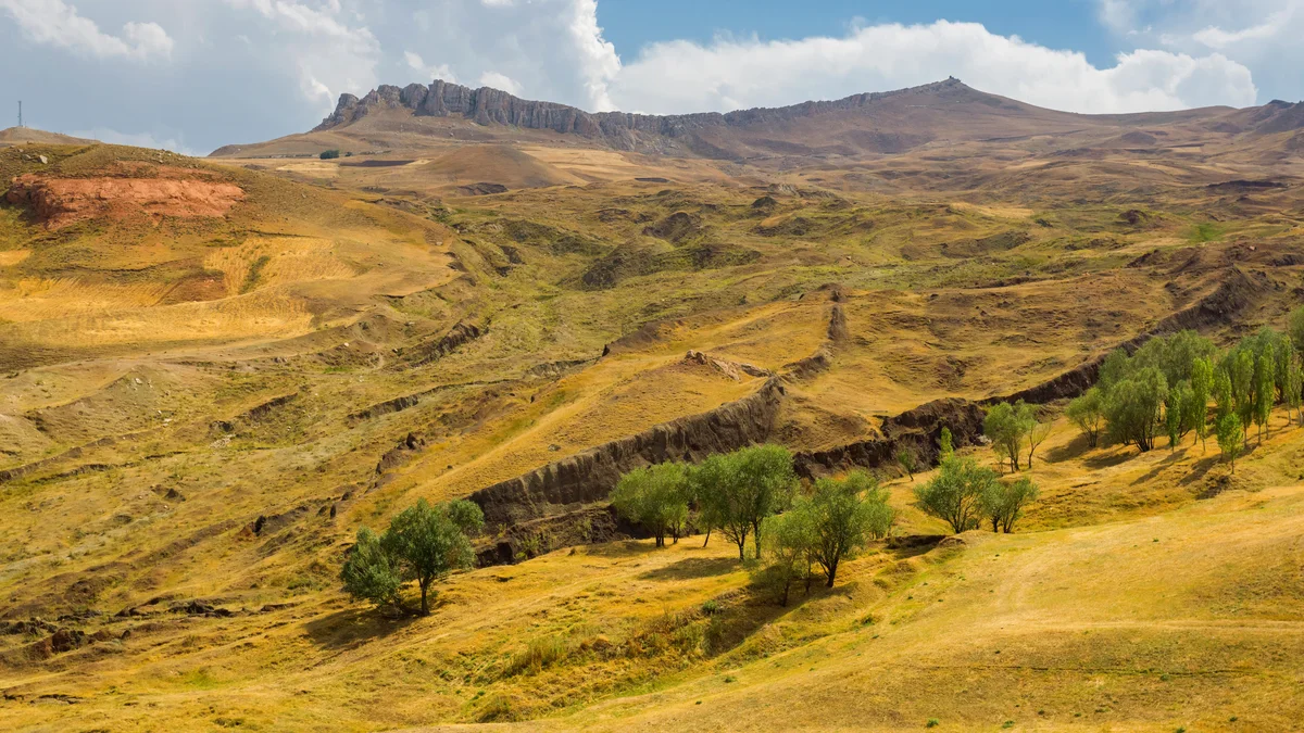
Noah’s Ark Search: Scientists Investigate Boat-Shaped Formation in Turkey
Archaeological researchers in Turkey are utilizing ground-penetrating radar, electrical resistivity tomography, and LiDAR to investigate the Durupınar Formation. The 157-meter geological structure sits in Doğubayazıt near Mount Ararat. Associated by some with the biblical account of Noah’s Ark since its discovery in 1959, the site is undergoing advanced non-invasive subterranean mapping by international and Turkish scientists.
Geophysical Methods and Modern Fieldwork Protocols
The investigation into the geological formation relies on advanced geophysical methods designed to analyze terrain and subsoil without initiating immediate physical excavations. These technologies enable researchers to construct detailed two-dimensional and three-dimensional digital models of the site.
Fieldwork conducted in 2026 builds upon earlier government-backed scientific initiatives launched in 2021. Each phase of the surface and deep-drilling sampling adds to the ongoing evaluation of whether the formation preserves physical evidence related to historical flood narratives.
Anomalies, Soil Chemistry, and Perforated Stone Blocks
Data gathered by the Noah’s Ark Scans project points to unusual subterranean features situated beneath the formation. Field surveys have identified anomalies resembling corridors and room-like spaces within the subsoil. These structural indicators have prompted closer geological inspection.

Laboratory testing of soil samples collected in 2024 revealed distinct chemical markers within the formation. Researchers are also examining large, perforated stone blocks found in the nearby village of Arzap. While some researchers hypothesize that these objects functioned as traditional drag anchors, known as drogue stones, for ancient marine vessels, their exact purpose remains unverified by archaeological consensus.
Aerial Reconnaissance Origins and Scientific Consensus
The site’s prominence in modern research dates back to October 1959. At that time, Turkish Army Captain İlhan Durupınar identified the distinctive boat-like geological formation on aerial reconnaissance photographs taken for mapping purposes.
Despite persistent public interest linking the site to the biblical flood narrative, mainstream archaeological and geological organizations emphasize that the structure is a natural formation. Previous independent expeditions over the decades found no definitive manufactured timber or artifact remains confirming the presence of an ancient wooden vessel. Current scientific projects continue to gather empirical data through non-destructive scanning, leaving formal, large-scale excavations dependent on future findings and official regulatory approvals from Turkish authorities.