Minnesota River Greenway Completed After 15 Years With Final 3.6-Mile Fort Snelling Segment Open
A nearly 15-year effort to stitch together a continuous riverside trail across Dakota County reached its finish line when a 3.6-mile section through parts of Fort Snelling State Park in Eagan opened to the public, Hoodline reported.
The completed Minnesota River Greenway now runs about 12½ miles from Interstate 35 in Burnsville to Lilydale Regional Park, according to Hoodline.
As noted by the Star Tribune, Dakota County Greenways Manager Tony Wotzka explained that while the county initially approved a master plan for the greenway in 2011, making the final section accessible from existing pathways had long presented a significant challenge.
Hoodline said that with the missing link now bridged, pedestrians, joggers and bicyclists can enjoy a continuous path alongside the river rather than having to navigate detours around the gap. The newly opened segment connects trailheads at Cedar Avenue and Nicols Road with Lone Oaks Road, per the Star Tribune.
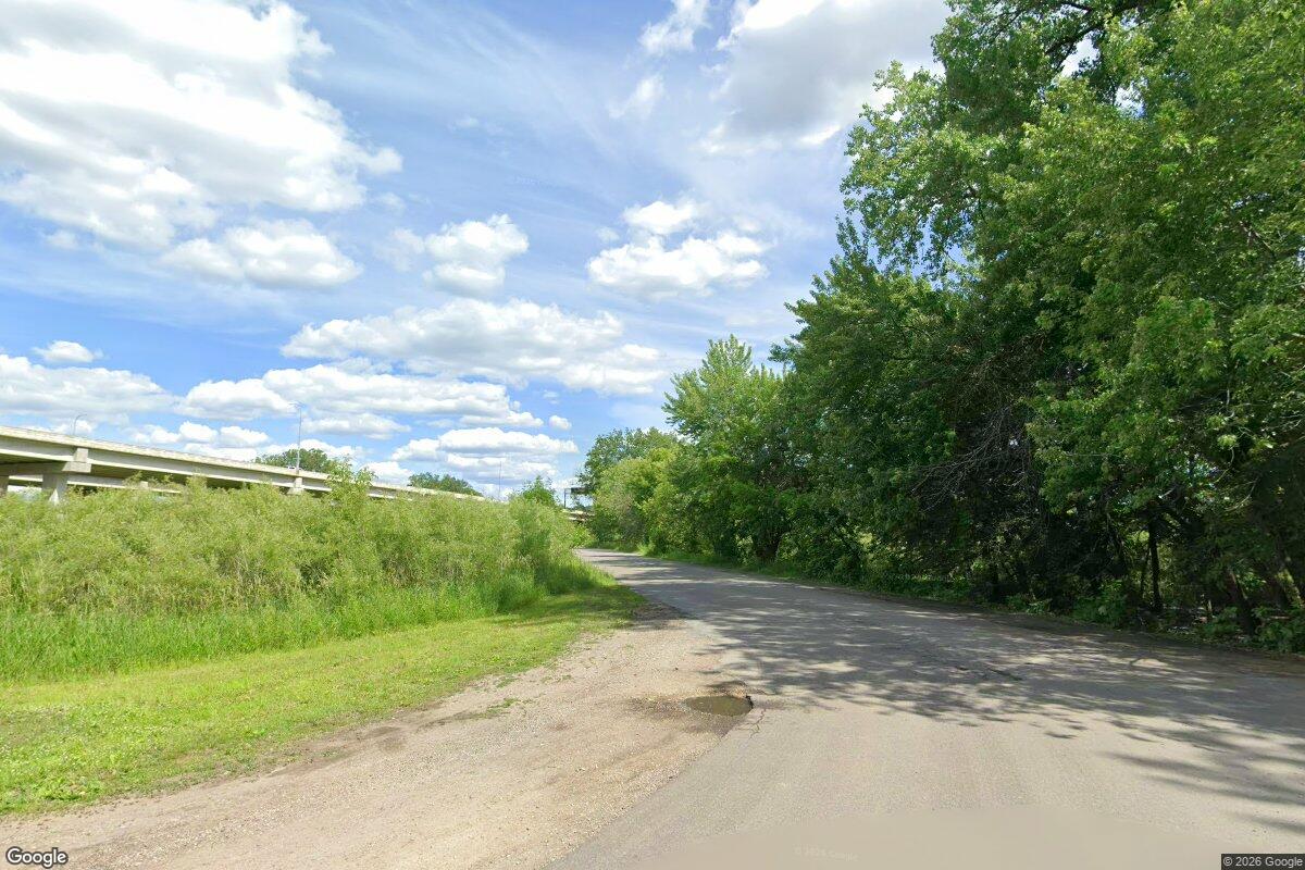
The new stretch features boardwalks through wetlands and over small creeks, along with a bridge crossing railroad and utility infrastructure, Hoodline reported. Wotzka described the experience as immersive in nature, according to the Star Tribune, giving visitors access to wildlife, river-bottom scenery and parts of the Minnesota Valley National Wildlife Refuge.

From its Burnsville-to-Lilydale backbone, the greenway continues along the Big Rivers Regional Trail toward St. Paul, Hoodline reported. From there, the River to River Greenway connects to the Mississippi River Greenway at its South St. Paul trailhead, running roughly 28 miles south to Hastings.
Usage on neighboring segments indicates heavy demand for the newly linked corridor. The stretch between Interstate 35 and the Cedar and Nicols trailheads logged about 185,000 users in 2025, while the Big Rivers section heading into St. Paul saw roughly 268,000 users that same year, Wotzka told the Star Tribune.
Wotzka visited the newly opened section on a Friday morning and observed cyclists, runners and walkers making use of it during a 45-minute window, Hoodline reported. He reported positive feedback from trail users and on social media, noting that people appreciated the new trail access, according to the same reporting.
The project carried a price tag of $25 million, funded through a mix of federal, state and county money, Hoodline reported. About 96 percent of the project’s funding came from non-levy dollars, according to the Hastings Star Gazette.
The greenway consists of a paved multi-use trail with boardwalks crossing streams and wetlands, alongside a distinctive spiral bridge providing a one-third-mile crossing over railroad tracks near the Lone Oak Trailhead, according to the Hastings Star Gazette. Amenities along the route include rest areas, seating and sweeping views of the Minnesota River Valley, per the same reporting.
“The Minnesota River Greenway runs through some of the metro’s most scenic and historic areas,” Dakota County Board Chair Laurie Halverson said, as reported by the Hastings Star Gazette. “I’m thrilled that the greenway provides the public safe, paved access to these spectacular views.”
Entrance and parking remain free at all Dakota County parks and greenways, according to the Hastings Star Gazette, and visitors can find more details by visiting Dakota County information pages.
Dakota County, the third most populous in Minnesota with an estimated 455,710 residents in 2025, takes its name from the Dakota Sioux bands who long inhabited the river confluence area. The county was the site of the 1851 Treaty of Mendota, which ceded native lands for the Minnesota Territory, and once stretched to the Missouri River before statehood reshaped its borders.
Dakota County Parks will announce plans in 2027 for a celebration of the completed greenway, according to the Hastings Star Gazette.