Meteored reports Super El Niño could disrupt European weather
Long-range meteorological models indicate that a powerful super El Niño developing in the Pacific could disrupt standard European weather patterns for the upcoming Christmas and New Year holidays, according to a report by Meteored.
The Super El Niño Configuration in the Pacific
A super El Niño has developed in the Pacific Ocean, registering as potentially the most powerful since official meteorological records began. This large-scale climate driver alters atmospheric circulation worldwide. While its impacts are clearly documented in North and South America, European weather teleconnections remain complex and notoriously difficult to project far in advance, as Meteored reported.
Dominik Jung, a qualified meteorologist, notes the unusual nature of this setup. “We have never experienced such a configuration. This is what makes this winter particularly exciting to follow, such as we have not seen for a long time,” Jung explained regarding the intensity of the Pacific anomaly.
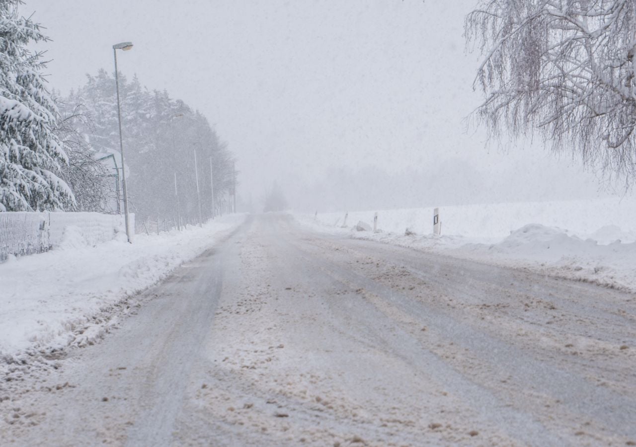
Lowland Snow Remains Unlikely for Christmas Holidays
Seasonal forecasts covering October through December point toward temperatures remaining above seasonal averages across large parts of Western Europe. During December, prevailing oceanic weather regimes could dominate regional conditions. Consequently, forecasters at Meteored emphasize that predicting lowland snow for the Christmas holidays remains speculative at this early stage.
Historical statistics show how infrequent white Christmases are in lowland terrain. True snow cover during the holidays occurs on average only once every eight to ten years in lower elevations. The last widespread lowland snow event across the region dates back to 2010, establishing a long gap in winter snow cover.
Previous super El Niño episodes, notably during the winters of 1997-1998 and 2015-2016, predominantly produced mild winter conditions. However, meteorologists point out that individual El Niño cycles behave differently. When the phenomenon reaches extreme intensity, it can alter established atmospheric baselines over Europe.
Brief Cold Snaps Could Bring Holiday Snowfall
Despite forecasts projecting a generally mild monthly average temperature for December, long-term models do not rule out brief interludes of intense cold. Prolonged mildness does not automatically preclude sharp, temporary drops in temperature.
Securing holiday snowfall requires precise timing rather than sustained freezing conditions throughout the entire month. “To have snow under the Christmas tree, it only takes two or three cold days at the right moment,” Jung noted, leaving open the possibility of a late-December shift toward winter weather.
Definitive meteorological signals regarding holiday conditions are expected to emerge by early December. Until those regional pressure patterns lock into place, forecasters emphasize that both mild, wet conditions and traditional cold-weather scenarios remain physically possible.