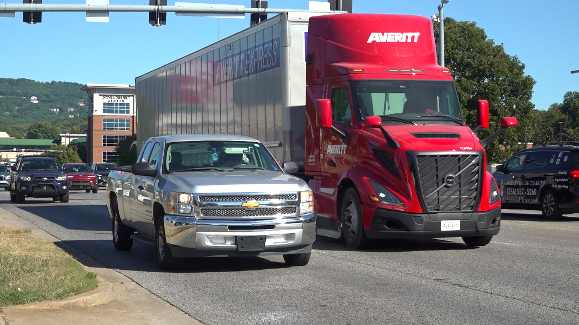
Huntsville Launches Traffic Safety Study for Governors Drive Corridor
Huntsville city planners are gathering public feedback through an online survey open through Dec. 15 for a comprehensive traffic safety study covering a nearly nine-mile stretch of Governors Drive from 14th Street to Caldwell Lane in the Big Cove area. The initiative aims to address rising pedestrian activity and vehicle counts across the corridor, particularly within the medical district.
Forty-Five Thousand Vehicles Daily Drive New Safety Push
Governors Drive carries approximately 45,000 vehicles daily, creating a heavy transit volume that intersects with significant pedestrian and bicycle traffic. City planner Jo Beth Gleason notes that traffic counts and pedestrian numbers have increased across every mode of transportation, with the medical district anchored by Huntsville Hospital experiencing heavy pedestrian activity. Planners want to ensure that all residents can move freely and safely through these high-activity zones.
Partnering With Alta Planning on Federal Grant
The municipality is partnering with Alta Planning + Design on the multi-month study, which is funded through a U.S. Department of Transportation planning grant. Over the past several months, project teams have conducted walking tours, pop-up events, and open houses to record local experiences.

Associate planner Sara Kovachich points out that the challenges shift depending on the specific segment of the corridor, moving from heavy hospital-area foot traffic to pedestrian and bike activity near Lowe Mill.
Residents Highlight Bicycle Access and Turning Hurdles
Local residents have utilized the open house sessions and ongoing outreach to highlight persistent infrastructure hurdles. Huntsville residents Brian and Debbie Moore voiced specific concerns regarding bicycle access, traffic controls, and getting in and out of their road.
Weighing Sidewalk Connections and Lighting Upgrades
Feedback collected throughout the engagement process will guide recommendations for physical upgrades along the route. Potential solutions under consideration include better sidewalk connections, improved lighting, and safer crossings.
Online Questionnaire Closes December 15
City officials emphasize that public participation remains vital because planning teams cannot monitor every location simultaneously. The raw input gathered from residents will be paired directly with quantitative traffic data to draft formal safety recommendations by the beginning of next year.
Residents who missed the recent open house events can still contribute their observations by completing the online questionnaire hosted via the city’s official planning portal before the December 15 closing date.
Keep reading
- South Korea President Lee Jae Myung Expresses Regret Over Ukraine Transfer
- Mark Carney announces 1.2 billion dollar marine conservation funding
- How Civil Society Coalitions Can Drive Effective Education Policy and Advocacy (archyde.com)
- PT Kereta Api Indonesia to Overhaul Safety After Deadly Bekasi Timur Crash (time.news)