Houston weather shifting to drier air and cooler overnight lows
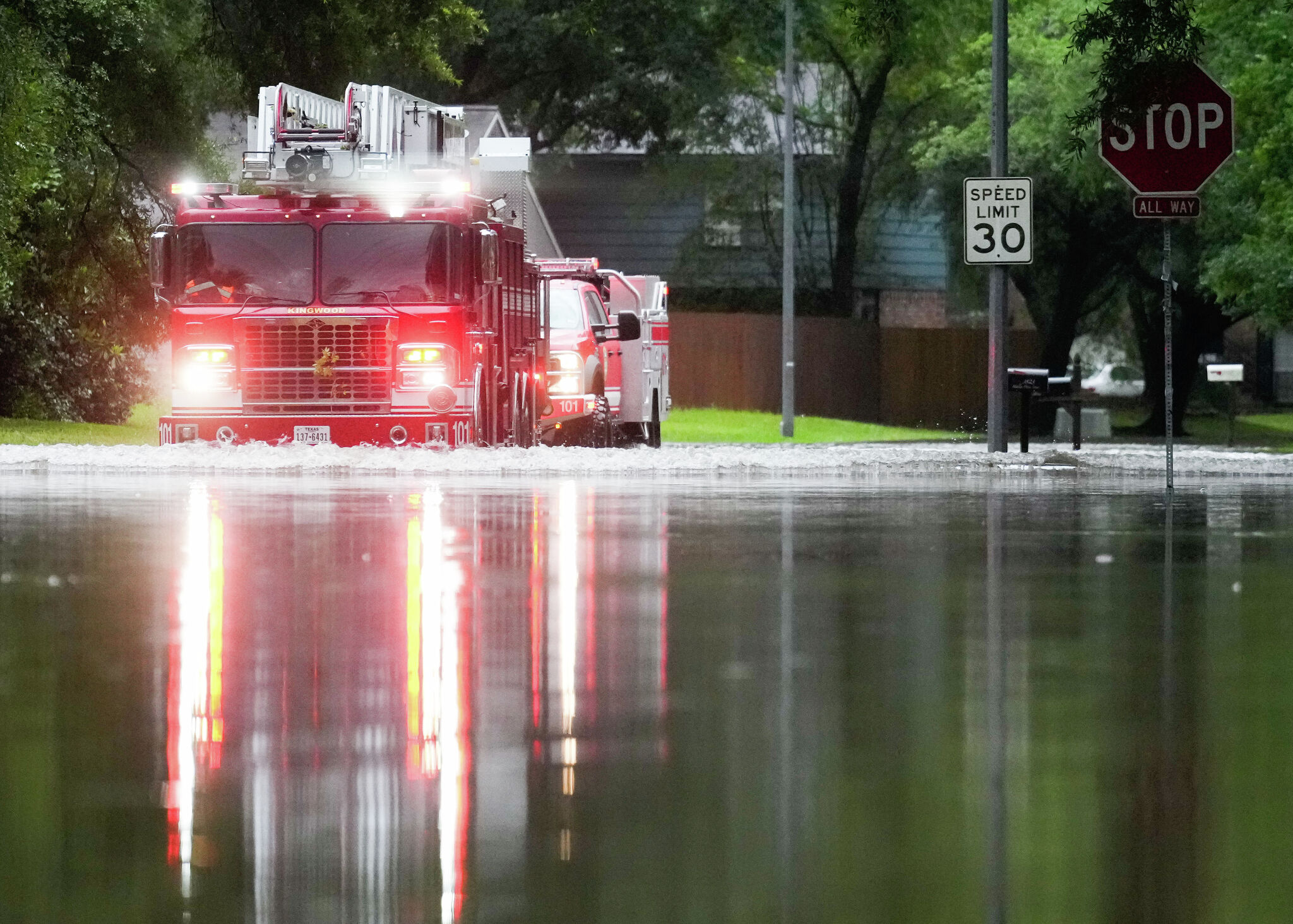
Following a damp start to the month that brought drought relief and 1.31 inches of rain to Houston over three days, the region’s weather pattern is shifting toward noticeably drier air and cooler overnight temperatures, according to the houstonchronicle.com report.
Drier Air Replaces Rain Across Southeast Texas
The active weather system that dropped more precipitation on Houston in three days than the entire month of September received is moving out. While scattered morning showers and a 20% to 30% chance of rain remained for parts of the metro area with higher chances along the coast, drier air is scheduled to push into Southeast Texas by Monday. High temperatures will top out near 85 degrees on Monday afternoon before giving way to clearer skies and cooler conditions.
Overnight Lows Drop Into the Sixties
Suburbs just outside the city center, including Katy, Conroe, and The Woodlands, will experience cooler lows in the upper 60s. Farther north, cities like Huntsville, Crockett, and Columbus will see overnight readings dip between 62 and 65 degrees. Similar mild daytime highs and comfortable night conditions are expected to persist through Tuesday and Wednesday.
Rising Rain Chances Expected by the End of the Week
Forecast models indicate that a weak upper-level low pressure system will interact with Gulf moisture later in the week, pulling atmospheric moisture back into the region. Houston residents can expect slight rain chances to return by Thursday evening, with more widespread precipitation possible by Friday and Saturday. Weather authorities advise checking daily updates as uncertainty remains regarding total expected rainfall amounts.