Great Salt Lake: Massive Freshwater Reservoir Discovered Underground
A massive freshwater reservoir lies hidden beneath the Great Salt Lake, a discovery that could reshape efforts to address the lake’s accelerating ecological crisis and the hazardous dust storms plaguing nearby communities. The findings, published this week in the journal Scientific Reports, detail a freshwater system extending to depths of up to 4 kilometers (approximately 13,000 feet) beneath the lake’s highly saline surface.
The research, led by University of Utah geophysicist Michael Zhdanov, utilized airborne electromagnetic (AEM) surveys to map geological structures under Farmington Bay and Antelope Island, located along the lake’s southeastern shore. The surveys, conducted in February 2025 by a Canadian geophysical team, revealed that freshwater saturates sediments far beneath the salt water, challenging previous assumptions about the lake’s subsurface hydrology.
“We were able to answer the question of how deep is this potential reservoir, and what is its spatial extent beneath the eastern lake margin,” said Zhdanov. “If you know how deep, you know how wide, you know the porous space, you can calculate the potential freshwater volume.” His team developed a method to create detailed 3D images of the subsurface by combining airborne electromagnetic data with magnetic measurements, offering new insight into the area’s geological and hydrological framework.
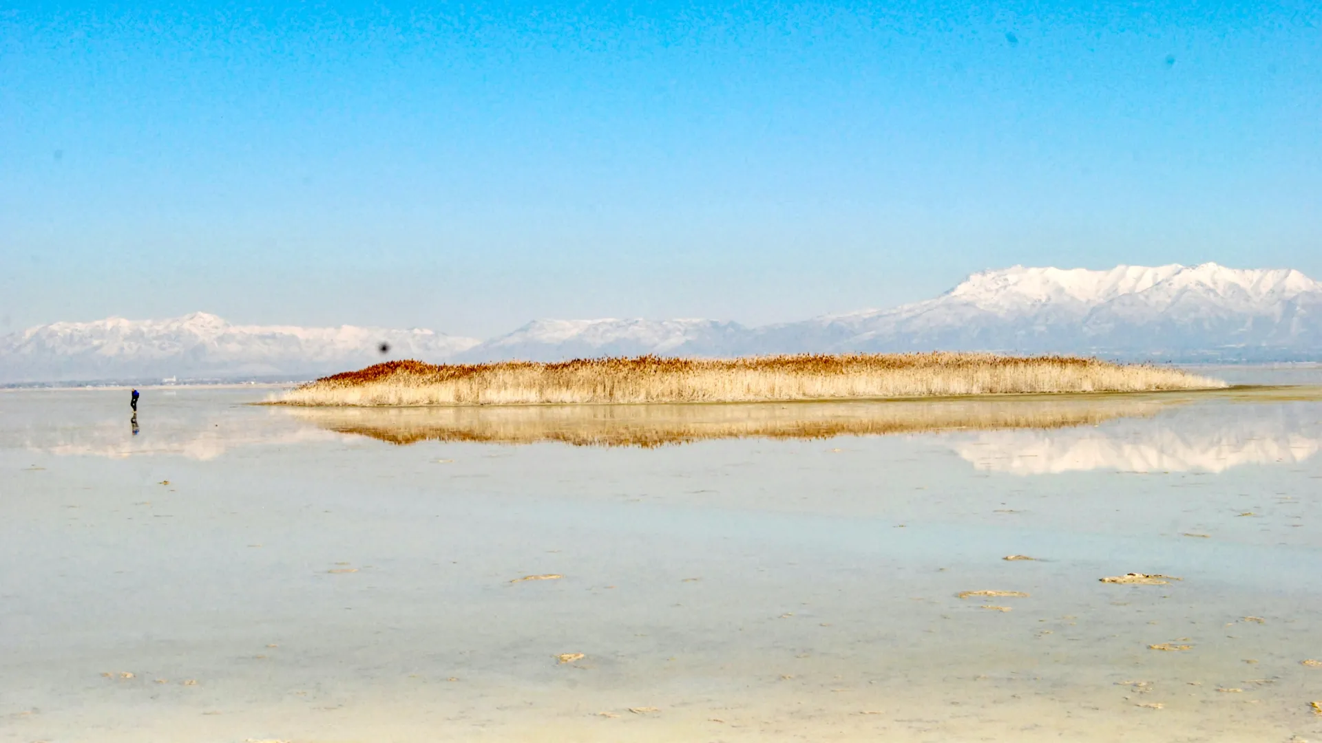
The discovery originated with the observation of unusual, circular mounds – covered in dense phragmites reeds – emerging on the drying lakebed in Farmington Bay. These mounds, measuring between 50 and 100 meters across and reaching heights of approximately 15 feet, indicated that pressurized groundwater was rising from below. As the Great Salt Lake continues to shrink, exposing approximately 800 square miles of lakebed, these mounds have become a focal point for scientific investigation.
Bill Johnson, a professor in the University of Utah’s Department of Geology & Geophysics and a co-author on the studies, described the unexpected distribution of freshwater as a key finding. “The unexpected part of this wasn’t the salt lens that we see near the surface across the playa. It’s that the freshwater underneath it extends so far in towards the interior of the lake and possibly under the entire lake. We don’t know,” Johnson said. “What we would normally expect…is that the freshwater from the mountains to come in somewhere at the periphery. But we find it’s coming in towards the interior.”
Researchers are now investigating whether this artesian groundwater could be utilized to mitigate the growing dust pollution problem. The exposed lakebed contains harmful metals, and controlling dust emissions is a critical concern for communities downwind. Johnson explained that understanding the potential impacts of extracting groundwater is paramount. “A first-order objective is to understand whether we could utilize this freshwater to wet dust hotspots and douse them in a meaningful way without perturbing the freshwater system too much,” he said.
The AEM surveys employed in the study measure electrical resistivity, allowing scientists to differentiate between freshwater and saltwater. The data revealed that freshwater rises through breaks in the impermeable layer beneath the lake, directly beneath one of the phragmites-covered mounds. Zhdanov explained the visual representation of the data: “Red means very conductive, blue is resistive. You clearly see near surface is saline water, 10 meters underneath is resistive freshwater. You see clearly it’s everywhere.”
The analysis as well revealed a relatively shallow basement structure beneath the playa, less than 200 meters deep, which then drops sharply to depths of 3 to 4 kilometers. This abrupt transition, located beneath one of the phragmites mounds, represents a significant structural boundary requiring further investigation.
The research is funded by the Utah Department of Natural Resources and represents a broader initiative to better understand groundwater dynamics beneath the Great Salt Lake. Johnson, along with colleagues Mike Thorne and Kip Solomon, are currently seeking additional funding to expand the airborne surveys to cover the lake’s full 1,500-square-mile area. A comprehensive survey, researchers believe, could inform regional water management decisions and provide a model for locating freshwater beneath terminal lakes worldwide.