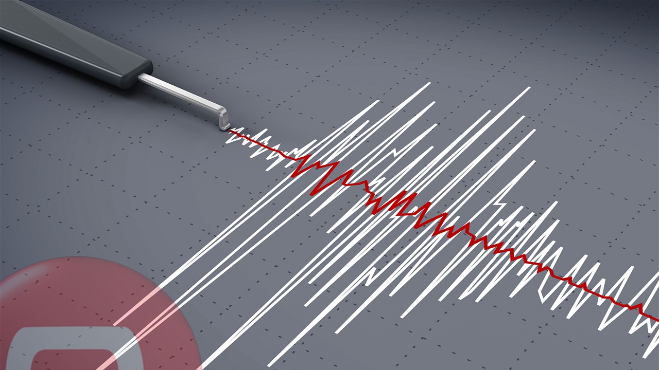
Four Earthquakes Strike Iraq in Six Days
Seismic activity in Iraq has increased over the past six days, with four distinct tremors recorded across various regions of the country, according to reports from the Iraqi Meteorological Organization and Seismology. These geological events have prompted ongoing monitoring by national authorities to assess potential structural impacts and public safety risks.
Geographic Distribution of Recent Tremors

The seismic events were dispersed across multiple governorates, signaling activity in both northern and central geological zones. Official data indicates that the tremors occurred in rapid succession, with the most recent activity concentrated in areas previously identified as seismically active. While the Iraqi Meteorological Organization and Seismology confirmed the frequency of these incidents, they have not yet released a consolidated report detailing the specific magnitude of each individual event or the depth of the epicenters.
Institutional Monitoring and Response
The Iraqi Meteorological Organization and Seismology remains the primary authority for tracking and verifying these seismic occurrences. The agency’s standard protocol involves utilizing a network of monitoring stations to triangulate epicenters and calculate the Richter scale intensity for each recorded vibration.
As of the latest updates, government agencies have not reported any significant damage to public infrastructure or residential property. There have been no official statements regarding injuries or casualties associated with these four tremors. The lack of reported damage follows the standard expectation for moderate seismic activity in the region, where building codes and geological stability vary significantly between urban centers and rural mountainous areas.
Contextualizing Regional Seismic Risks
Iraq’s seismic profile is influenced by the convergence of the Arabian and Eurasian tectonic plates. Historically, the northeastern mountainous regions, including parts of the Kurdistan Region, have experienced higher frequencies of seismic activity compared to the southern and western desert regions.
The current surge of four events within a six-day window is being analyzed against historical frequency data for the region. Geological experts typically categorize such clusters as either foreshocks, aftershocks, or isolated tectonic adjustments. The Iraqi Meteorological Organization and Seismology continues to maintain a 24-hour observation schedule to determine if this pattern signifies a temporary release of crustal stress or a precursor to further activity.
The General Authority for Meteorology and Seismic Monitoring has not provided a timeline for a comprehensive geological assessment, leaving the public to rely on periodic updates issued through official communication channels.