Ex-Cyclone Narelle: Reform Expected Off WA Coast | Weather Update
Ex-Tropical Cyclone Narelle is forecast to re-form off the northern Western Australian coast within the next 24 hours, prompting warnings for coastal communities in the Kimberley region. The Bureau of Meteorology (BOM) anticipates the system will intensify, potentially reaching category four status by Friday morning.
A warning zone is currently in effect between Kuri Bay, north of Derby, and Beagle Bay on the Dampier Peninsula. A watch zone has likewise been issued for the Pilbara region, encompassing Exmouth, Onslow, Karratha, and Port Hedland. The re-formation of Narelle follows its initial development in the Coral Sea and subsequent passage across northern Australia, where it caused flooding.
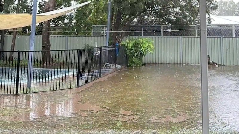
Kalumburu, WA’s northernmost community, recorded 146.2mm of rainfall in the 24 hours to 9am local time today. Kim Holm, chief executive of the Kalumburu Aboriginal Corporation, reported some flooding on the outskirts of the town but confirmed no homes had been damaged. Holm stated that residents are well-prepared, having experienced two previous flooding events in recent months.
The BOM’s latest tracking map indicates the potential for the cyclone to cross the WA coast over the weekend, with the Gascoyne and Midwest regions identified as possible crossing points. Duty forecaster Luke Huntington said gales with wind gusts up to 100km/h are expected today and tomorrow. He also warned of the possibility of up to 200 millimetres of rain, which could lead to flash flooding.
Further south, Perth is also on alert as forecasters predict the system could strengthen to at least a category three cyclone by midweek. The potential crossing point remains uncertain, ranging from Exmouth to Jurien Bay. Jessica Lingard of the BOM noted that impacts could extend as far south as the Perth metropolitan area, depending on the cyclone’s track.
The system was downgraded to a tropical low after crossing the Northern Territory’s east coast at the weekend, but the BOM believes it will redevelop in the Indian Ocean. Ardyaloon community chief executive John Reudavey noted that clean-up efforts are still underway following recent tropical cyclones Luana and Hayley.
Bureau meteorologist Jonathan How indicated that the system’s projected southward curve later in the week presents a wide range of possible outcomes, suggesting the potential for impacts extending well into the State’s south.