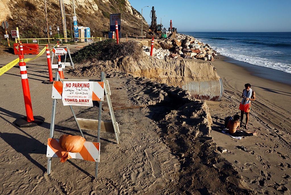
El Niño Kelvin Wave Threatens California With Severe Coastal Flooding
Communities across California are rushing to prepare for the imminent arrival of a massive underwater band of warm water known as a Kelvin wave, which threatens to inundate swaths of the North American shoreline. According to scientists, the wave is nearing southern California and is expected to reach the San Francisco Bay Area by early October as it crawls toward Alaska, potentially raising coastal waters by a foot and compounding the threat of severe winter storms.
The Mechanics of the Approaching Kelvin Wave
Unlike typical ocean waves that climb and crash against the shore, a Kelvin wave swells tides from beneath the surface. It is described as a slow-moving, massive slosh of warm water driven by El Niño conditions, moving across the Pacific at about 6 mph before colliding with the South American coastline and surging north. During El Niño events, equatorial winds that normally blow east to west weaken and reverse, creating westerly wind bursts that trigger these oceanic pulses.
While Kelvin waves do not transport water like tsunamis, they create conditions that allow higher sea levels to linger. Mike Jacox, a research oceanographer with the National Marine Fisheries Service, explained that these waves on their own are not always hazardous, though they can reduce the growth of phytoplankton at the base of the marine web. However, Jacox warned that “when there are very high tides or storm surges, their effects can be amplified.”
Compounding Risks for California’s Coastline
The arrival of the Kelvin wave intersects with an already vulnerable coastline experiencing baseline sea level rise driven by climate change. Oceans have absorbed more than 90 percent of excess heat trapped by human-driven warming, leading to thermal expansion and marine heatwaves that elevate baseline sea levels. Along the California coast, groundwater pumping has simultaneously caused significant land subsidence, heightening coastal inundation risks.
Scientists warn that the worst effects will likely manifest this winter when the state encounters heavy moisture. Dr. Jonathan Warrick, a research geologist with the US Geological Survey, emphasized that the timing of upcoming storms, high waves, and large tides in January, February, and March will be critical. “When it comes to these storms and the tides, we really are kind of rolling the dice,” Warrick said, noting that compounding systems will pack a far greater punch.
Climate scientist Daniel Swain pointed out in an interview with Inside Climate News that southern California has already felt initial impacts. “Just the first few inches of elevation in southern California have already caused enough erosion to close the Amtrak line along the coast, and this is just the beginning,” Swain said. Swain also highlighted the precedent of the 1997-1998 winter, when similar hazards brought massive coastal erosion, ruptured highways, and overwhelming storm surges that resulted in disaster declarations across 21 of California’s 58 counties.
State and Regional Preparedness
Governor Gavin Newsom has declared a state of emergency to bolster preparedness against flooding, landslides, and coastal risks as the state braces for what could be the most severe El Niño recorded. Surface temperatures in the Pacific Ocean are currently warmer than they were prior to the 1997 onslaught.
With coastal flooding deemed practically certain by researchers, regional authorities and local municipalities face severe logistical and infrastructure challenges.