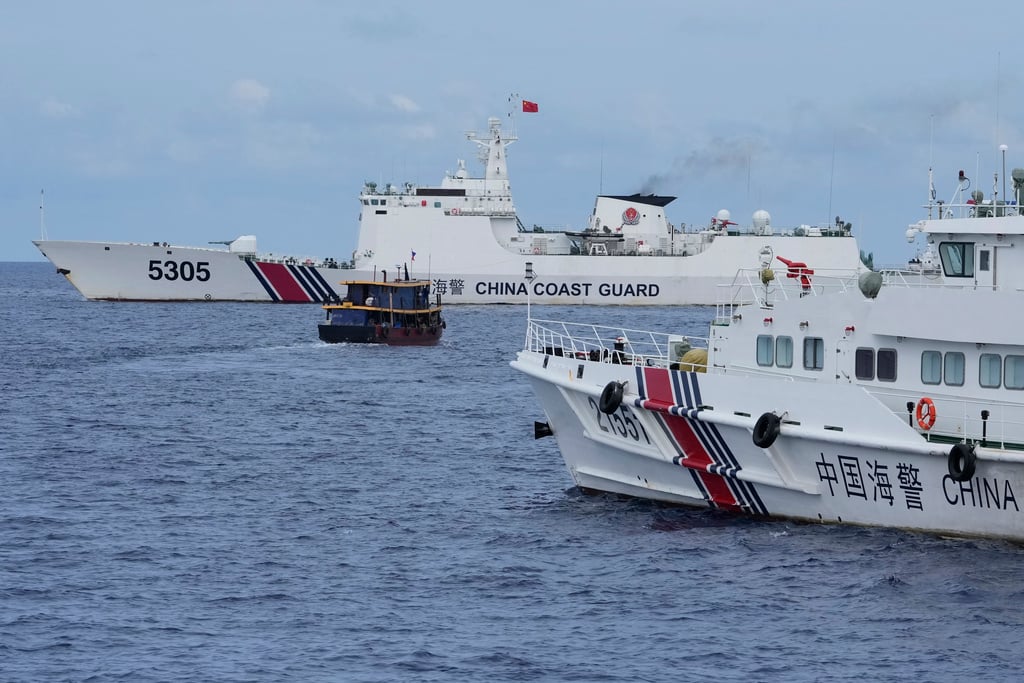
China Builds New Military Radar and Base on Yagong and Antelope Reefs
Analysts suggest the structures, located near the rapidly developing Antelope Reef, likely represent a strategic radar installation designed to bolster Beijing’s surveillance and military control over the South China Sea.
Strategic Infrastructure at Yagong and Antelope Reefs
Satellite imagery analyzed by Reuters and corroborated by reports from Vantor indicates that construction at Yagong Reef began between March and April 2026. The site, situated approximately 14 kilometers northeast of Antelope Reef, features a three-pronged structure that experts identify as a potential early-warning radar system. This installation appears intended to act as a force multiplier for the broader military complex being established on Antelope Reef.
According to Vantor, the architectural profile of the Yagong facilities mirrors existing military radar sites observed elsewhere in the South China Sea. While Beijing has characterized these developments as civilian infrastructure—citing meteorological, fishing, and scientific research purposes—the scale of the project suggests a different primary function. At Antelope Reef, China has completed an artificial island spanning nearly six kilometers, featuring a straight coastline exceeding three kilometers. Analysts at the Asia Maritime Transparency Initiative indicate this configuration is consistent with a runway capable of supporting combat aircraft, transport planes, and bombers.
Redesigning the Military Geometry of the Paracels
The construction at Antelope Reef functions as a critical link between China’s mainland bases on Hainan Island and its existing outposts in the Paracel archipelago. By integrating Antelope Reef with Woody Island and Tritone, China is creating a distributed network of sensors, airfields, and port facilities. This approach enhances the resilience of the Chinese military presence; if one node is compromised, the remaining infrastructure maintains operational continuity.

Military analysts note that this “dual-use” strategy allows Beijing to solidify its territorial claims while avoiding the immediate diplomatic fallout associated with a formal declaration of militarization. The infrastructure is positioned to complicate maritime and aerial operations for the United States and regional claimants, including Vietnam, which has long disputed China’s control over the Paracels since the 1974 conflict. The proximity of these bases—roughly 280 kilometers from the naval base at Sanya—ensures rapid logistical support, significantly increasing the cost for any adversary attempting to challenge local maritime dominance.
Operational Risks and Regional Security Impacts
The cumulative effect of these installations is a shift in the regional power balance. The potential deployment of HQ-9 surface-to-air missiles and long-range anti-ship systems would extend the threat envelope for allied forces operating in the northern South China Sea.

The Future of Persistent Surveillance
The rapid evolution of these artificial features highlights the transition of the Paracel Islands from isolated outposts into a cohesive, redundant military apparatus. The ability to project power from these reefs forces regional neighbors to recalibrate their own defense strategies. As China continues to build, the threshold for a potential conflict in the South China Sea remains a primary concern for regional stakeholders.
The construction is not merely about land reclamation; it is about establishing a permanent, pervasive surveillance umbrella. Whether these structures are used for weather monitoring or missile guidance, their existence fundamentally alters the strategic landscape of the Pacific. For those tasked with managing international supply chains or regional policy, the current expansion serves as a clear indicator that the status quo in the South China Sea is being permanently rewritten.