Best Free App for Visiting Bassin d’Arcachon This Summer
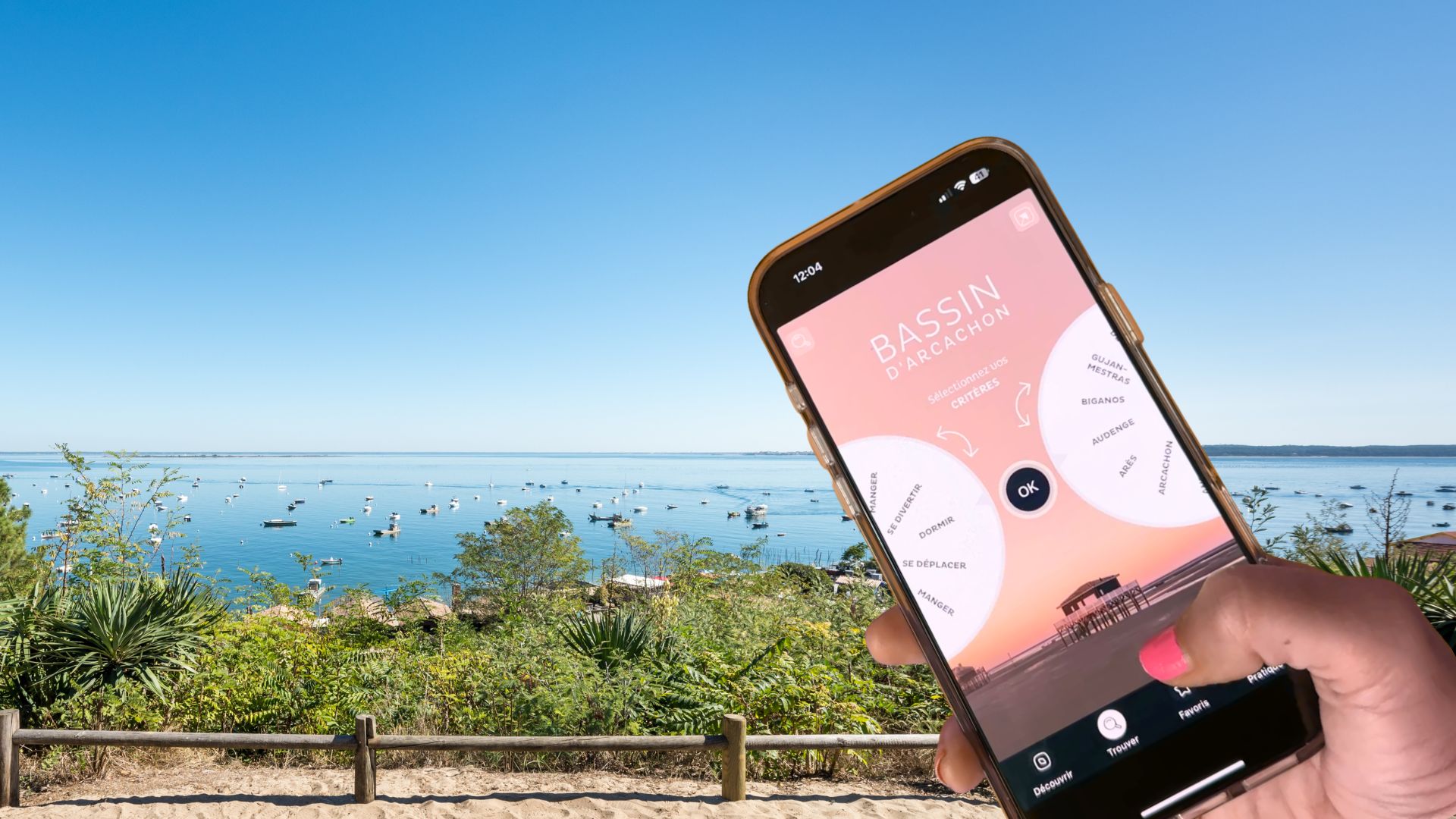
The “Bassin d’Arcachon” mobile application serves as a centralized digital tool for residents and tourists navigating the Arcachon Bay region, providing real-time data on tides, local services, and nautical regulations. Developed to consolidate fragmented information into a single interface, the application is available for free on major mobile platforms.
## Core Functionality and Regional Utility
According to regional reports from TVBA, the application is designed to address the specific logistical needs of the Arcachon Basin, an area characterized by fluctuating water levels and complex maritime zones. The software integrates tide schedules, which are essential for boaters and beachgoers planning activities around the bay’s significant tidal range. By providing automated updates, the tool aims to reduce reliance on printed schedules or multiple disparate websites.
Beyond nautical data, the application acts as a directory for local points of interest. It includes geographical data points for public amenities, parking zones, and designated swimming areas. This curation is intended to assist visitors in identifying available facilities during the peak summer season when population density in the region increases significantly.
## Integration of Local Regulations
A primary feature of the platform is the inclusion of up-to-date environmental and navigation regulations. The Arcachon Basin is subject to strict environmental protections, including specific zones where motorboat speeds are restricted or where anchoring is prohibited to protect seagrass beds. The application highlights these zones, allowing users to verify their position relative to protected areas.
The tool also serves as a communication channel for local authorities to disseminate alerts regarding weather conditions or temporary closures of specific coastal sectors. By pushing notifications directly to users, the application provides a layer of safety for those participating in water sports or leisure activities on the bay.
## Operational Scope
While the application focuses on the immediate Arcachon Basin, its utility is restricted to the information provided by the municipal and regional bodies maintaining the data. Users are advised to cross-reference the application’s digital tide charts with official maritime reports issued by the Service Hydrographique et Océanographique de la Marine (SHOM) for high-precision navigation.
The application remains available for download through standard mobile app stores, with updates managed by the regional developers to ensure compatibility with current mobile operating systems. Local authorities continue to monitor user feedback to determine the necessity of future feature expansions or adjustments to the interface.