
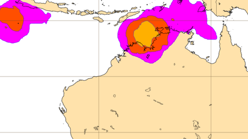
A meaningful atmospheric wave is poised to increase storm activity near northern Australia next week, perhaps laying the groundwork for tropical cyclone development as early as November 20, 2025. The phenomenon, known as the Madden-Julian Oscillation (MJO), is forecast to bring a surge in cloud and thunderstorm activity to the region.
While the overall probability of a cyclone forming-and especially making landfall-remains low, meteorologists emphasize the MJO’s capacity to generate low-pressure systems that can intensify into cyclones. Residents across northern australia are advised to closely monitor updates from the Bureau of meteorology as conditions evolve.
The MJO is a major fluctuation in tropical weather that propagates eastward around the globe every 30 to 60 days. This wave can enhance thunderstorm development and create favorable conditions for tropical cyclone formation. “This wave…should cause an increase of cloud and thunderstorm activity near northern Australia next week,” according to forecasts.
The increased storminess associated with the MJO can act as a catalyst for the development of low-pressure systems. If these systems encounter conducive atmospheric conditions-warm sea surface temperatures and low wind shear-they can deepen and potentially transform into tropical cyclones. Authorities are urging vigilance, despite the long odds, to ensure preparedness for potential severe weather impacts.