
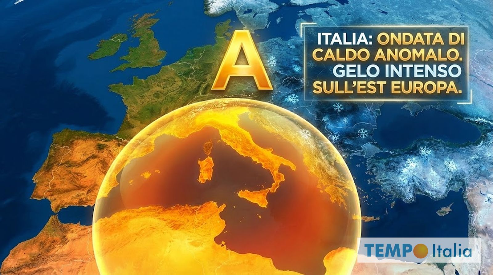
An unusually warm spell is sweeping across Italy, interrupting the winter season and bringing temperatures more typical of springtime. The shift is being driven by a strong subtropical anticyclone centered between Spain and western Italy, according to reports from TempoItalia.it.
The anticyclone is creating a stable atmospheric pattern across much of the central and western Mediterranean, characterized by clear skies and sunshine. However, its primary effect is acting as a conduit for warm air masses to flow towards Italy. While the warming will be most pronounced at higher elevations, coastal areas, plains, and valleys will also experience a noticeable increase in temperature, with some areas potentially reaching 20 degrees Celsius.
This warming trend is occurring while colder temperatures persist in Eastern Europe. Arctic air masses are moving towards the Balkans and Eastern Europe, but are being blocked by the high-pressure system over Italy, effectively shielding the peninsula from the cold. Italy is, in effect, experiencing an “oasitic” climate, protected from both disruptive weather systems and the frigid air impacting other parts of the continent.
Forecasts suggest temperatures could climb further in the coming days, potentially reaching 20-22 degrees Celsius in cities across Sardinia and Sicily. The blocking atmospheric pattern is expected to persist for several days, impacting not only Italy but the wider European continent. Oceanic currents are pushing mild air towards higher latitudes, forcing the cold further towards the Arctic Circle.
The current winter conditions are unfavorable for those hoping for further Arctic incursions into the Mediterranean. Any potential for colder weather appears to be receding further into the future, shifting the focus to March, a month historically known for its unpredictable weather patterns. The analysis is based on the latest data from the ECMWF and GFS models.