
Forecasters can now gain a more precise understanding of wildfire smoke plume heights, a critical factor in assessing health risks, by integrating data from NASA’s TEMPO instrument with existing satellite measurements. This advancement promises to significantly improve real-time air quality assessments, especially when compared to teh limitations of ground-based monitoring networks.
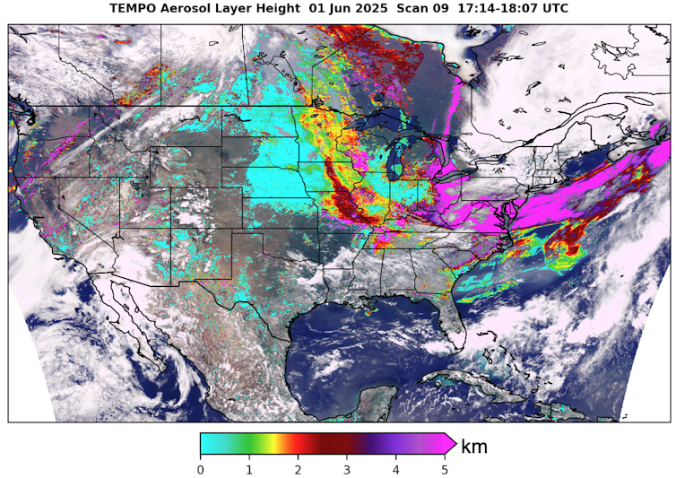
The ability to determine smoke plume height is crucial as aerosol particles at higher altitudes reflect more light back into space. Conversely, closer to the earth’s surface, increased oxygen absorption at specific wavelengths means less light is reflected. Satellites can detect these differences, enabling the calculation of smoke plume altitude.
by combining TEMPO’s data with measurements from the Advanced Baseline Imager on NOAA’s GOES-R satellites, forecasters can better evaluate the health risks posed by smoke plumes, provided cloud cover dose not obstruct the view. This represents a considerable improvement over relying solely on ground-based air quality monitors, which are often sparsely distributed. For instance, a state like iowa, covering over 56,000 square miles, might have only around 50 air quality monitors, with most concentrated in urban centers.
NOAA’s AerosolWatch tool already offers near-real-time wildfire smoke imagery from its GOES-R satellites, and the agency intends to incorporate TEMPO’s height data. A prototype system developed by a NASA-supported research project, FireAQ, demonstrates how users can access neighborhood-level data on smoke plume height. However, this prototype is currently updated daily, leading to data delays, and cannot provide height data in areas with overhead clouds.
the increasing frequency and intensity of wildfires, driven by rising global temperatures and population growth in wildland-urban interfaces, are escalating fire risks across North America. While air quality in much of the U.S. improved between 2000 and 2020 due to stricter emissions regulations, wildfires have counteracted these gains in parts of the western U.S., effectively erasing nearly two decades of air quality progress in some regions.
These advancements in smoke monitoring signify a new era in air quality forecasting, offering more accurate and timely information to enhance public health protection against the growing threat of wildfires.