
A tropical depression formed in the Atlantic on Tuesday,ending a remarkably quiet start too the hurricane season and signaling a potential shift in weather patterns. The system, designated Tropical Depression Four, is forecast to strengthen into a tropical storm and be named Gabrielle.
This marks the end of an unusual drought in Atlantic storm activity. Through August, only one of the season’s six tropical storms – Erin – escalated into a hurricane.Erin offered a concerning preview of the increasing intensity of Atlantic storms as the planet warms. The current lack of storm development has been attributed to dry, stable air and stronger-than-usual wind shear across the Atlantic basin, hindering the formation of tropical systems from weather disturbances moving off the African coast.
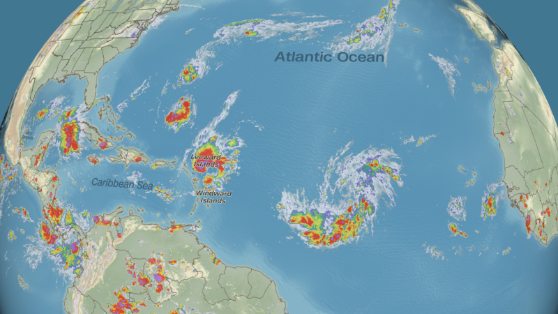
The Atlantic has struggled to produce storms this year due to factors above the ocean. The tropical Atlantic has been enveloped in dry, stable air, limiting the development of stormy weather. Additionally,strong wind shear – differing wind speeds and directions at various altitudes – has been present in the western and central Atlantic,further suppressing storm formation.As the season progresses into October, the primary breeding ground for storms shifts westward, toward the Gulf of Mexico, the Caribbean Sea, and the western Atlantic. These regions, being closer to land, pose a greater risk of perilous impacts should a storm develop. Forecasters are closely monitoring Tropical Depression Four as it moves westward, with potential impacts to the Lesser Antilles and beyond.