
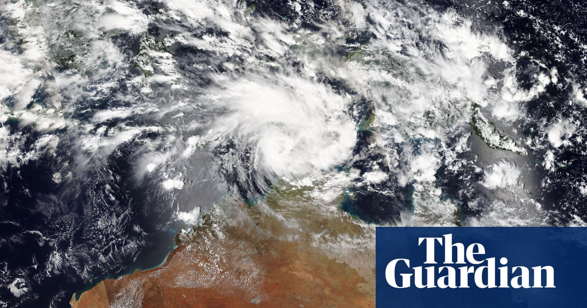
Tropical cyclone Fina is tracking on a torrential path toward the northern Australian coast and is expected to make landfall this week, bringing the threat of damaging winds and heavy rainfall. The Bureau of Meteorology (BOM) is closely monitoring the system, currently a category one cyclone, as it intensifies over warm waters in the Timor Sea.
While fewer tropical cyclones are anticipated overall wiht a warming climate, experts warn those that do form are projected to be more severe. The national climate risk assessment indicates a higher proportion of category four and five cyclones are expected. This comes as sea surface temperatures in the Timor Sea are currently above average for this time of year, substantially exceeding the 26.5C threshold required for cyclone formation.
BOM forecaster Jackson Turton said,”We do know that with climate change that we’re expecting the intensity of these storms to increase. We’re expecting them to intensify more rapidly. We’re already seeing those patterns.”
Fina is currently a small system, which Turton explained can lead to rapid intensification but also quicker weakening. “As it’s small, it’s likely to spin up quicker.But it can also weaken quicker as of inertia. So these small cyclones can sometimes catch you unawares and suddenly they intensify very rapidly.”
Residents in affected areas are urged to stay informed and heed warnings from local authorities as the cyclone approaches.