
First Snow Dusts Winterberg Slopes
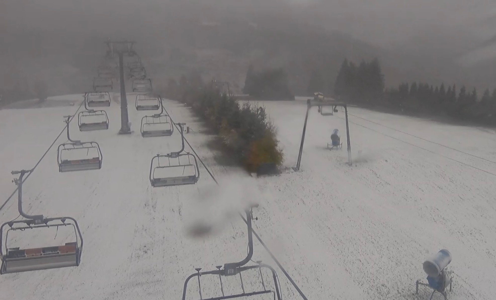
Winterberg is experiencing a touch of winter as teh first snow of the season has fallen! Webcams this morning revealed a dusting of white on roofs, trees, and portions of the ski slopes in the German resort, a convenient drive from the Netherlands.
The snowfall is linked to a strong western weather system moving across the Sauerland region this weekend. Falling temperatures allowed precipitation in higher elevations to briefly turn to wet snow. While accumulation is currently limited, it’s bringing a welcome winter feel.
Despite the picturesque scene, conditions in Winterberg are currently blustery. Winds are strong, reaching force 6, and are visibly impacting the webcam feeds.
The unsettled weather is expected to continue early next week. Monday will likely bring notable precipitation, potentially as snow on the highest peaks. Tuesday will be somewhat drier but remain cold, with temperatures around 5 degrees Celsius. A shift in weather patterns will then bring milder conditions, with southerly winds and rising temperatures beginning Wednesday.
🎥 Check the webcams in Winterberg (Snowplaza)
Looking ahead,the mild temperatures won’t last. The forecast indicates a warming trend towards the weekend and the start of November, with temperatures reaching 16 degrees Celsius and milder nights. Though, the initial snowfall has sparked anticipation for more winter weather to come this season.